
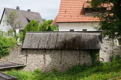
Reste der Ortsmauer, entlang dem Grabenweg Reste der Ortsmauer, um 1400, bruchstückhaft in Scheunen verbaut
Location: Neubrunn
Part of: City walls of Neubrunn in Lower Franconia
Address: Grabenweg
GPS coordinates: 49.73219,9.67454
Latest update: March 6, 2025 06:30

Synagoge
4.1 km
Mariä Himmelfahrt und St. Martin
3.3 km
Trockenhänge bei Böttigheim
4.1 km
Kuratiekirche
3.1 km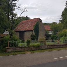
Seemühle
3.8 km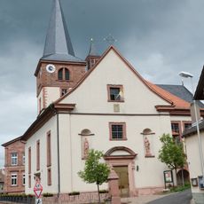
Kirche
295 m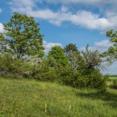
Trockenhänge bei Böttigheim (1)
2.1 km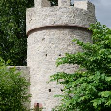
Turm
282 m
Naturschutzgebiet 'Trockenhänge bei Böttigheim'
3.2 km
Bildstock
3.5 km
Bildstock
378 m
Kriegerdenkmal
3.6 km
Trockenhänge bei Böttigheim
4 km
Kriegerdenkmal
4.2 km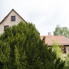
Schloss
247 m
Nebengebäude
4.2 km
Denkmal
3.3 km
Wegkreuz
4 km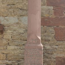
Bildstock
4 km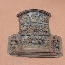
Relief
4 km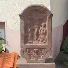
Bildstockaufsatz
4.1 km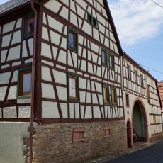
Gasthaus
4.2 km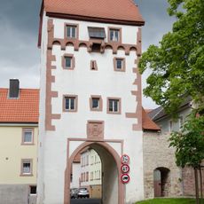
Torturm
423 m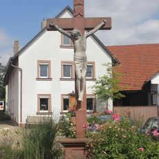
Wegkreuz
4.1 km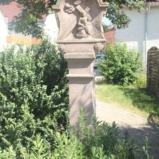
Bildstock
3.9 km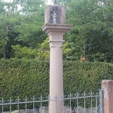
Bildstock
3.9 km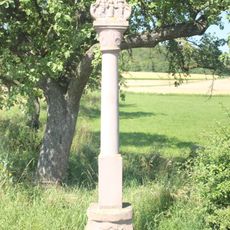
Bildstock
3.6 km
Pfarrhaus
4.1 kmReviews
Visited this place? Tap the stars to rate it and share your experience / photos with the community! Try now! You can cancel it anytime.
Discover hidden gems everywhere you go!
From secret cafés to breathtaking viewpoints, skip the crowded tourist spots and find places that match your style. Our app makes it easy with voice search, smart filtering, route optimization, and insider tips from travelers worldwide. Download now for the complete mobile experience.

A unique approach to discovering new places❞
— Le Figaro
All the places worth exploring❞
— France Info
A tailor-made excursion in just a few clicks❞
— 20 Minutes