
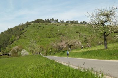
Naturschutzgebiet 'Trockenhänge bei Böttigheim', protected area in the European Union defined by the habitats directive in Bayern, Germany
Location: Würzburg
Inception: 1998
Part of: Trockenhänge bei Böttigheim
GPS coordinates: 49.70566,9.65789
Latest update: March 5, 2025 16:15

Synagoge
3.2 km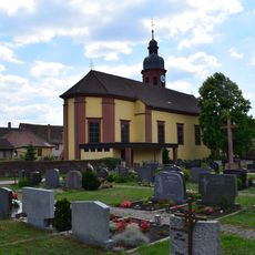
Mariä Himmelfahrt und St. Martin
234 m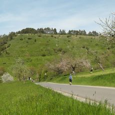
Trockenhänge bei Böttigheim
1 km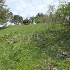
Helmental-Kleinleiden
2.9 km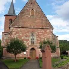
Evangelische Kirche Niklashausen
3 km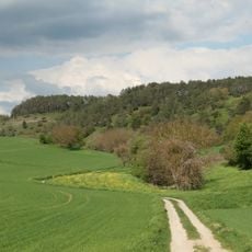
Wormental
2.9 km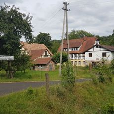
Emmentaler Mühle
2.8 km
Haltestelle Niklashausen
3.2 km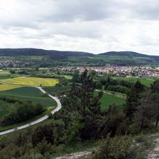
Werbach
3 km
Neumühle
3 km
Öl- und Sägmühle
2.8 km
Kirche
2.9 km
Kapelle
1.4 km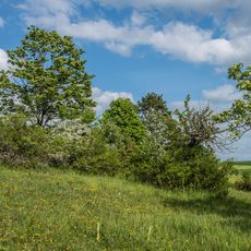
Trockenhänge bei Böttigheim (1)
1.1 km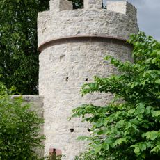
Turm
2.9 km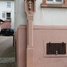
Bildstock
2.8 km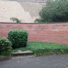
Kriegerdenkmal
3 km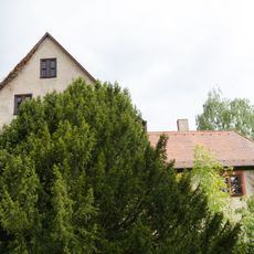
Schloss
2.9 km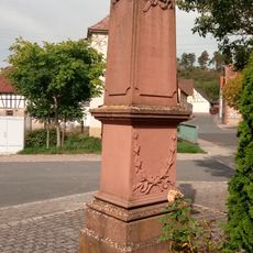
Kriegerdenkmal
3.3 km
Wasserschutzgebiet Niklashausen
2.9 km
Trockenhänge bei Böttigheim
830 m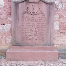
Kriegerdenkmal
3 km
Kneipp-Anlage Wenkheim
3.3 km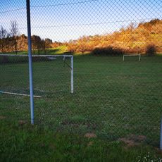
Bolzplatz Werbachhausen
3.1 km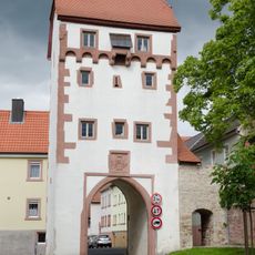
Torturm
2.8 km
Naturdenkmal 1 Sommerlinde Ortsetter
3.1 km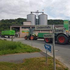
ZG Raiffeisen Getreidesilo Wenkheim
2.9 km
Reste der Ortsmauer
3.2 kmReviews
Visited this place? Tap the stars to rate it and share your experience / photos with the community! Try now! You can cancel it anytime.
Discover hidden gems everywhere you go!
From secret cafés to breathtaking viewpoints, skip the crowded tourist spots and find places that match your style. Our app makes it easy with voice search, smart filtering, route optimization, and insider tips from travelers worldwide. Download now for the complete mobile experience.

A unique approach to discovering new places❞
— Le Figaro
All the places worth exploring❞
— France Info
A tailor-made excursion in just a few clicks❞
— 20 Minutes