
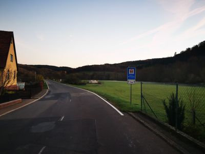
Wasserschutzgebiet Niklashausen, Wasserschutzgebiet im Main-Tauber-Kreis und Landkreis Würzburg
Location: Main-Tauber-Kreis
Location: Würzburg
GPS coordinates: 49.70097,9.61787
Latest update: March 12, 2025 03:39
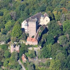
Burg Gamburg
1.2 km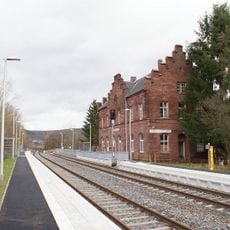
Bahnhof Gamburg
1.6 km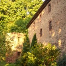
Unteres Schloss Gamburg
1.4 km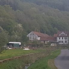
Bimssteinfabrik
1.9 km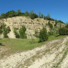
Apfelberg
2.4 km
St. Martin
1.4 km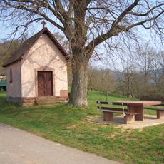
14-Heiligen-Kapelle
2 km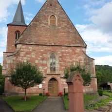
Evangelische Kirche Niklashausen
224 m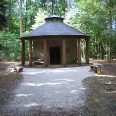
Maria-Hilf-Kapelle
1.5 km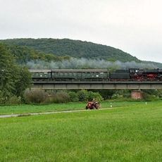
Eisenbahnbrücke Gamburg
1.5 km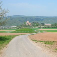
Schlossberg
1.1 km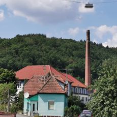
Möbelfabrik
1.8 km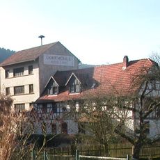
Dorfmühle
1.8 km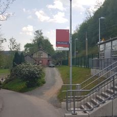
Haltestelle Niklashausen
286 m
Gasthof Tauberperle
1.7 km
Werbach
1.7 km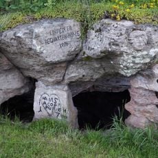
Beghardenhöhle
753 m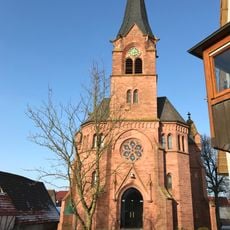
Evangelische Kirche Höhefeld
1.5 km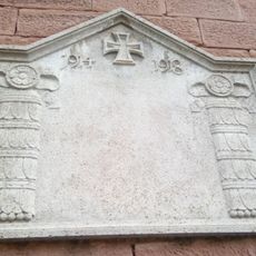
Kriegerdenkmal
1.4 km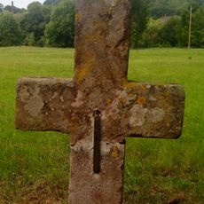
Sühnekreuz Werbach V
1.5 km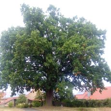
1 Eiche „Luthereiche Steinigt“
1.2 km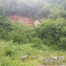
Aufg. Steinbruch am Neuberg ca. 1900 m SW von Höhefeld
2 km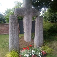
Kriegerdenkmal
1.7 km
Kriegerdenkmal
230 m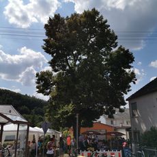
Naturdenkmal 1 Sommerlinde Ortsetter
341 m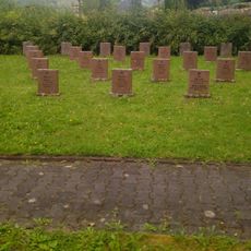
Kriegerdenkmal
1.3 km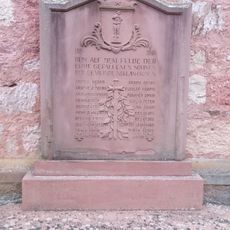
Kriegerdenkmal
226 m
Naturdenkmal Schilfbestand Gamburg Krautgärten
1.5 kmReviews
Visited this place? Tap the stars to rate it and share your experience / photos with the community! Try now! You can cancel it anytime.
Discover hidden gems everywhere you go!
From secret cafés to breathtaking viewpoints, skip the crowded tourist spots and find places that match your style. Our app makes it easy with voice search, smart filtering, route optimization, and insider tips from travelers worldwide. Download now for the complete mobile experience.

A unique approach to discovering new places❞
— Le Figaro
All the places worth exploring❞
— France Info
A tailor-made excursion in just a few clicks❞
— 20 Minutes