
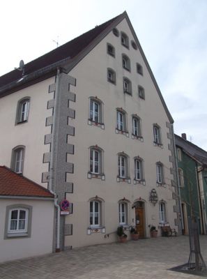
Ehemaliger Zehentstadel, jetzt Altersheim
Ehemaliger Zehentstadel, jetzt Altersheim, dreigeschossiger und giebelständiger Steildachbau mit stichbogigen Öffnungen, 16./17. Jahrhundert
Location: Velburg
Address: Hinterer Markt 4
GPS coordinates: 49.23203,11.67178
Latest update: March 8, 2025 16:30
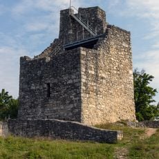
Burgruine Velburg
524 m
Wallfahrtskirche Herz-Jesu
680 m
St. Wolfgang (Velburg)
1.3 km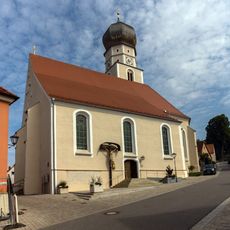
St. Johann Baptist
186 m
St. Anna
236 m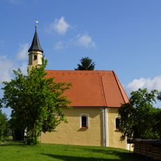
St. Johannes (Altenveldorf)
1.5 km
St. Leonhard
616 m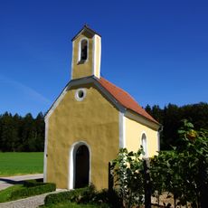
Marienkapelle Velburg-Richterhof
1.9 km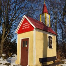
Herz-Mariä-Kapelle
718 m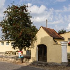
Kapelle Neumarkter Straße
280 m
Cultural heritage D-3-6736-0110 in Velburg
189 m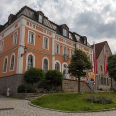
Bank Stadtplatz 18
172 m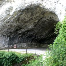
Das Hohlloch W von St. Wolfgang
1.3 km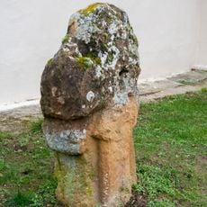
Kreuzstein Velburg
180 m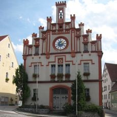
Rathaus Velburg
36 m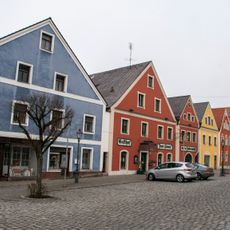
Cultural heritage D-3-6736-0036 in Velburg
59 m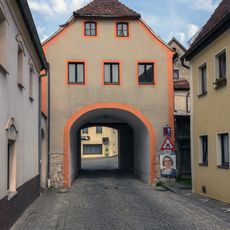
Stadttor Neumarkter Straße
260 m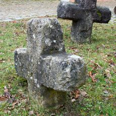
Steinkreuze am St. Anna Weg
226 m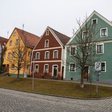
Ensemble Altstadt Velburg
139 m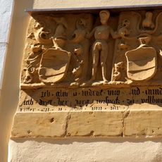
Wappentafel des Jörg Wiespeck
199 m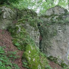
Dolomite am Burgberg der Ruine Velburg
529 m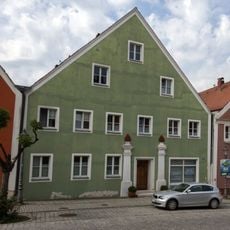
Bürgerhaus Stadtplatz 17
175 m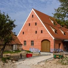
Zehntstadel Kolpingstraße 4
166 m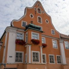
Magistratsgebäude
105 m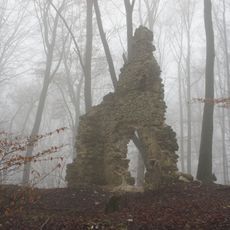
Buchen- und Mischwälder um Deusmauer
1.8 km
Steinkreuz 2 St.-Anna- Kirche in Velburg
226 m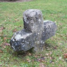
Steinkreuz 1 St.-Anna- Kirche in Velburg
226 m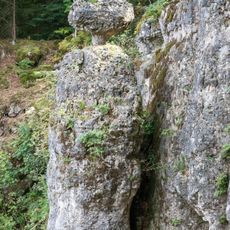
Schloßberg, Wolfgangshöhle und Hohllochberggruppe bei Velburg
1.4 kmVisited this place? Tap the stars to rate it and share your experience / photos with the community! Try now! You can cancel it anytime.
Discover hidden gems everywhere you go!
From secret cafés to breathtaking viewpoints, skip the crowded tourist spots and find places that match your style. Our app makes it easy with voice search, smart filtering, route optimization, and insider tips from travelers worldwide. Download now for the complete mobile experience.

A unique approach to discovering new places❞
— Le Figaro
All the places worth exploring❞
— France Info
A tailor-made excursion in just a few clicks❞
— 20 Minutes