
Bildstock, wohl 17. Jahrhundert; am nördlichen Ortseingang
Location: Thyrnau
Address: am nördlichen Ortseingang
GPS coordinates: 48.59590,13.55276
Latest update: March 5, 2025 07:02
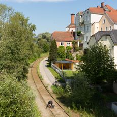
Passau–Hauzenberg railway
4.1 km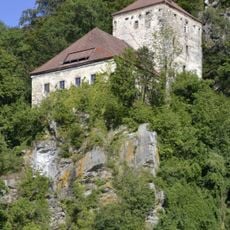
Burg Krämpelstein
4.5 km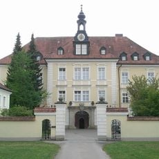
Kloster Thyrnau
2.4 km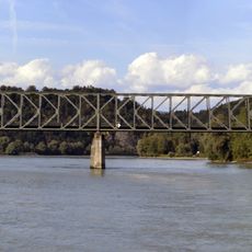
Kräutlstein Bridge
4.2 km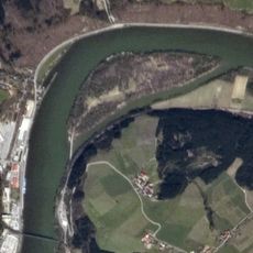
Soldatenau
3 km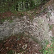
Ruine Königstein, Freinberg
4.1 km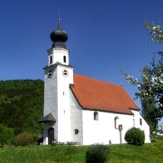
Kath. Filialkirche hll. Peter und Paul
5.4 km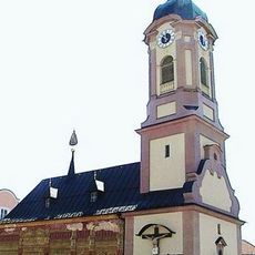
Loretokapelle
2.4 km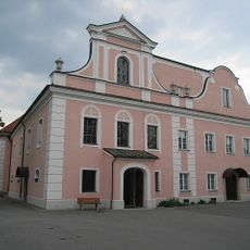
St. Franz Xaver
2.4 km
Pfarrkirche hl. Willibald, Freinberg
4.3 km
Burgstall Gastering
3.7 km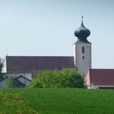
St. Blasius
322 m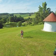
Golfclub Passau Raßbach
1.4 km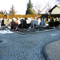
Friedhof christlich
4.3 km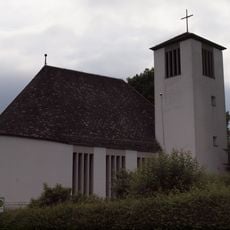
Evang.-Luth. Pfarrkirche
4.5 km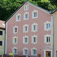
Wohnhaus, ehemalige Kapelle St. Johannes
5.9 km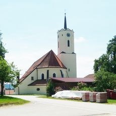
St. Nikolaus parish church
3.9 km
Altes Forsthaus Freinberg
4 km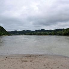
Donau von Kachlet bis Jochenstein mit Inn- und Ilzmündung
4.8 km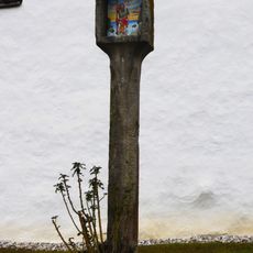
Bildstock
5.4 km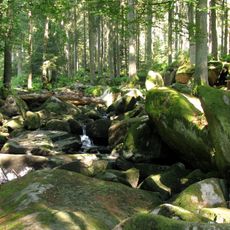
Erlau
5.8 km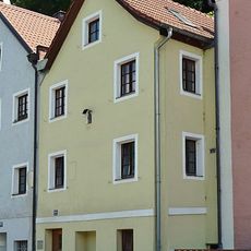
Wohnhaus
5.9 km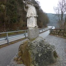
Figurenbildstock hl. Johannes von Nepomuk
4.3 km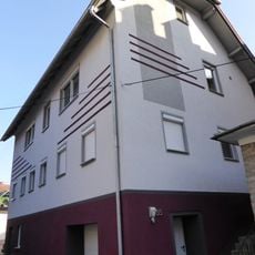
Bürgerhaus
5.4 km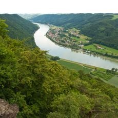
Donauleiten von Passau bis Jochenstein
5.3 km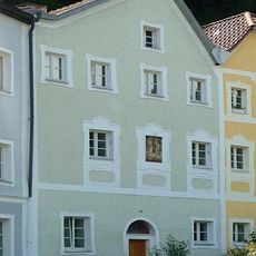
Wohnhaus
5.9 km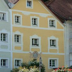
Wohnhaus
5.9 km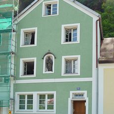
Wohnhaus
5.9 kmVisited this place? Tap the stars to rate it and share your experience / photos with the community! Try now! You can cancel it anytime.
Discover hidden gems everywhere you go!
From secret cafés to breathtaking viewpoints, skip the crowded tourist spots and find places that match your style. Our app makes it easy with voice search, smart filtering, route optimization, and insider tips from travelers worldwide. Download now for the complete mobile experience.

A unique approach to discovering new places❞
— Le Figaro
All the places worth exploring❞
— France Info
A tailor-made excursion in just a few clicks❞
— 20 Minutes