
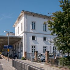
Bauernhaus, building in Simbach am Inn, Lower Bavaria, Germany
Location: Simbach am Inn
Address: Dienersberg 4
GPS coordinates: 48.31425,13.00882
Latest update: May 6, 2025 18:50
Simbach (Inn)
5.8 km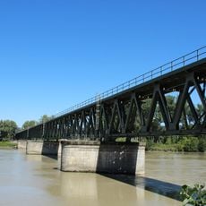
Simbach–Braunau railway bridge
6.2 km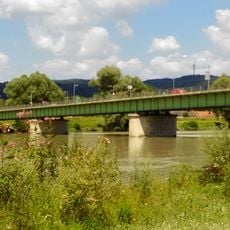
Innbrücke
6.2 km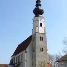
Mariä Himmelfahrt
5.2 km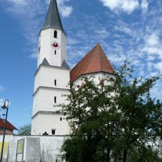
St. Georg (Stubenberg)
4.9 km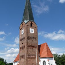
Katholische Pfarrkirche St. Maria, St. Philipp und St. Jakob
2.4 km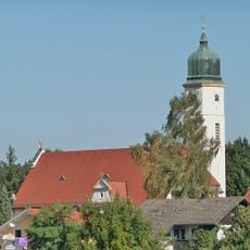
Katholische Pfarrkirche St. Maria Patrona Bavariae
4.4 km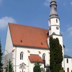
Katholische Pfarrkirche St. Stephan
5.7 km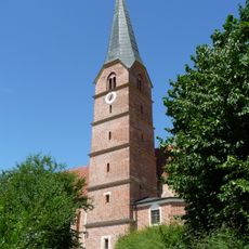
St. Stephanus (Reut)
5 km
Katholische Pfarrkirche Mariä Himmelfahrt
5.2 km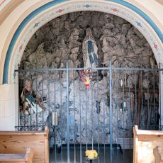
Mooskapelle
5.1 km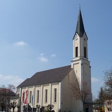
Maria unbefleckte Empfängnis
5.6 km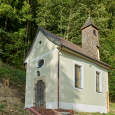
Wallfahrtskapelle Stadleck
5.8 km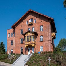
Roscher-Villa
5.3 km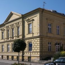
Innstraße 36
5.9 km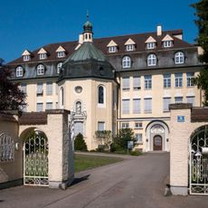
Simbach Institut Marienhöhe
5.4 km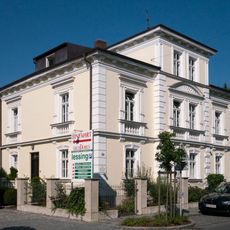
Villa
5.8 km
Gebäudegruppe Münchner Straße 22,24,26,28,20
5.6 km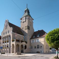
Rathaus Simbach am Inn
5.5 km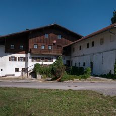
Bauernhof mit Sägemühle
5 km
Apotheke
5.5 km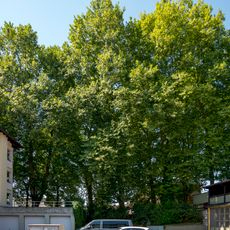
Platanenallee
5.7 km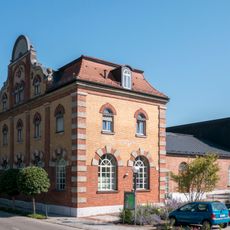
Ehemaliges Elektrizitätswerk
5.5 km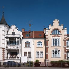
Doppelhaus
5.6 km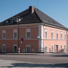
Ehem. Hauptzollamt
6 km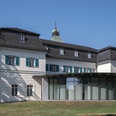
Heimatmuseum Simbach am Inn
5.5 km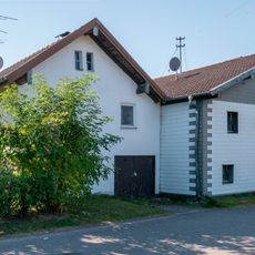
Ehem. Bauernhaus
5.1 km
Gasthaus
5.4 kmReviews
Visited this place? Tap the stars to rate it and share your experience / photos with the community! Try now! You can cancel it anytime.
Discover hidden gems everywhere you go!
From secret cafés to breathtaking viewpoints, skip the crowded tourist spots and find places that match your style. Our app makes it easy with voice search, smart filtering, route optimization, and insider tips from travelers worldwide. Download now for the complete mobile experience.

A unique approach to discovering new places❞
— Le Figaro
All the places worth exploring❞
— France Info
A tailor-made excursion in just a few clicks❞
— 20 Minutes