
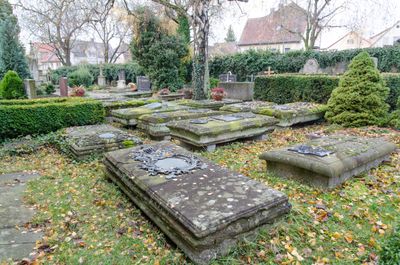
Friedhof, Verlegung vor die Stadt 1562, alter Teil mit Grabsteinen von bedeutenden Rothenburger Familien und namhaften Künstlern, 16.-19. Jahrhundert, Erweiterung zweite Hälfte 19. Jahrhundert
Location: Rothenburg ob der Tauber
Address: Ansbacher Straße 6
GPS coordinates: 49.37569,10.18646
Latest update: March 6, 2025 17:46
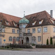
Ansbacher Straße 2 (Rothenburg ob der Tauber)
120 m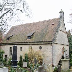
Friedhofskapelle
135 m
Streichwehr beim Hohennersturm
200 m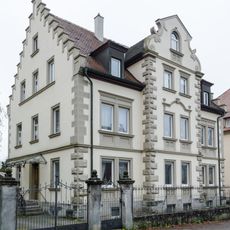
Ehemalige Villa
173 m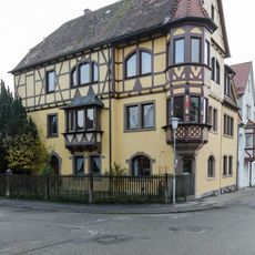
Pfürdtstraße 2
216 m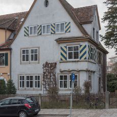
Erlbacher Straße 2
70 m
Oskar-von-Miller Realschule. Ackerweg 3, Rothenburg ob der Tauber
263 m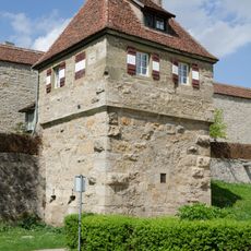
Streichwehr Röderschütt 20 in Rothenburg ob der Tauber
270 m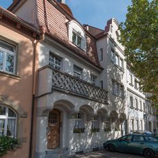
Mietshaus
95 m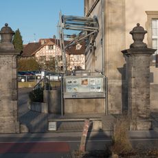
Bahnhofstraße 7
235 m
Johannitergasse 20 (Rothenburg ob der Tauber)
207 m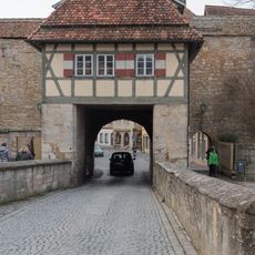
Rödertor, Torbarbakane
214 m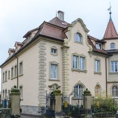
Ehemalige Gartenvilla
188 m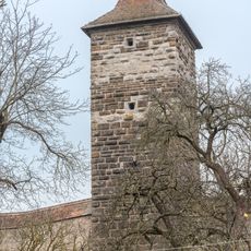
Hohennersturm
216 m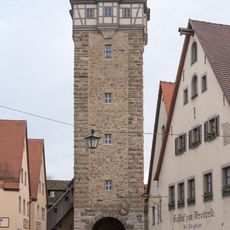
Rödertorturm
224 m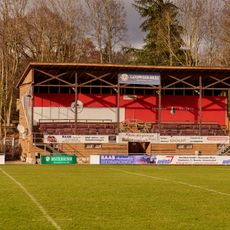
Tribüne
175 m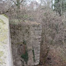
Streichwehr beim Schwefelturm
238 m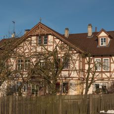
Johannitergasse 16
200 m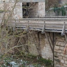
Steinbrücke Rödertor 2 a in Rothenburg ob der Tauber
198 m
Topplerweg 9
197 m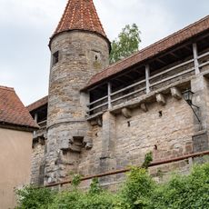
Wachturm Vom Faulturm bis zum Hohennersturm - Schwefelturm in Rothenburg ob der Tauber
250 m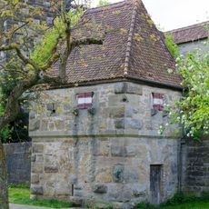
Streichwehr Nähe Röderschütt in Rothenburg ob der Tauber
224 m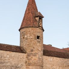
Wachturm Vom Rödertor zum Thomasturm - Weibersturm in Rothenburg ob der Tauber
263 m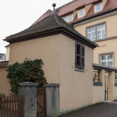
Pavillon Ansbacher Straße 2 in Rothenburg ob der Tauber
98 m
Ehemaliges Postamtsgebäude
232 m
Topplerweg 7
178 m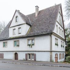
Ansbacher Straße 8
67 m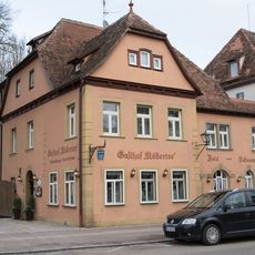
Ansbacher Straße 7
105 mVisited this place? Tap the stars to rate it and share your experience / photos with the community! Try now! You can cancel it anytime.
Discover hidden gems everywhere you go!
From secret cafés to breathtaking viewpoints, skip the crowded tourist spots and find places that match your style. Our app makes it easy with voice search, smart filtering, route optimization, and insider tips from travelers worldwide. Download now for the complete mobile experience.

A unique approach to discovering new places❞
— Le Figaro
All the places worth exploring❞
— France Info
A tailor-made excursion in just a few clicks❞
— 20 Minutes