
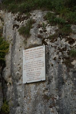
Gedenktafel, für David Heinrich Hoppe am sog. Schutzfelsen, 1790, erneuert 1890
Location: Pentling
Address: Weinberg
GPS coordinates: 48.99213,12.04632
Latest update: March 7, 2025 06:27
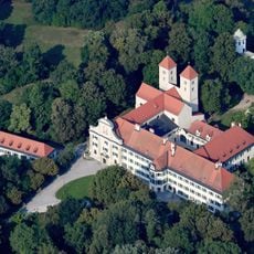
Prüfening Abbey
1.9 km
Max-Schultze-Steig
1 km
Sinzing motorway bridge
935 m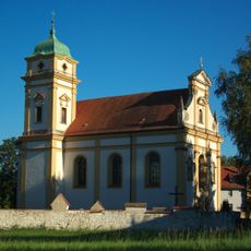
Mariä Himmelfahrt
2 km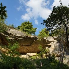
Schutzfelsen Pentling
33 m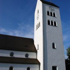
St. Josef
1.8 km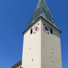
Mariä Himmelfahrt
829 m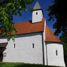
St. Michael
1.9 km
St. Maria
1.4 km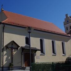
Saint John the Baptist Church (Pentling)
1.3 km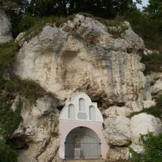
Grottenkapelle im Felsen
268 m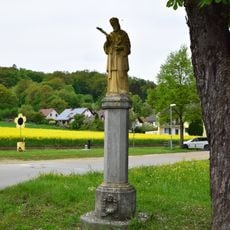
St. Nepomuk-Statue
1.8 km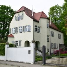
Gartenvilla
1.1 km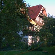
Villa
2 km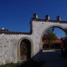
Zugehörige Hofmauer
1.4 km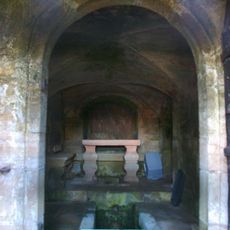
Brunnstube, anstelle eines älteren Brunnenhauses von 1549/50
2.1 km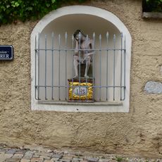
Friedhofsmauer Laberstraße 2 in Sinzing
826 m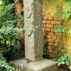
Burgfriedenssäule der Freien Reichsstadt Regensburg
1.8 km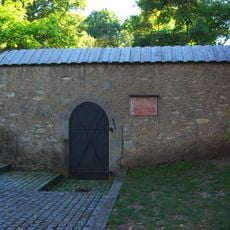
Brunnstube der Wasserleitung des ehemaligen Reichsstiftes St. Emmeram
1.9 km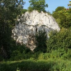
Felshang mit Höhle 100 m S von der Sinzinger Autobahnbrücke
779 m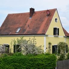
Ehemaliges Forstamt
611 m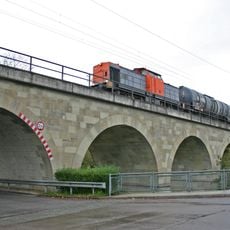
Eisenbahnbrücke
684 m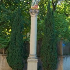
Mariensäule
2 km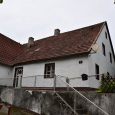
Wohnhaus
897 m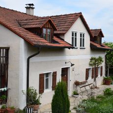
Bauernhaus Mariaorter Straße 7
2.1 km
Ehem. Gasthaus
1.4 km
Gasthaus
850 m
Sinzing railway bridge
1.8 kmReviews
Visited this place? Tap the stars to rate it and share your experience / photos with the community! Try now! You can cancel it anytime.
Discover hidden gems everywhere you go!
From secret cafés to breathtaking viewpoints, skip the crowded tourist spots and find places that match your style. Our app makes it easy with voice search, smart filtering, route optimization, and insider tips from travelers worldwide. Download now for the complete mobile experience.

A unique approach to discovering new places❞
— Le Figaro
All the places worth exploring❞
— France Info
A tailor-made excursion in just a few clicks❞
— 20 Minutes