
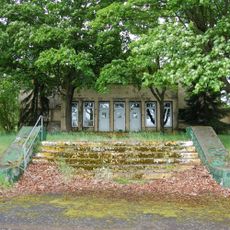
Ehemalige Synagoge, Cultural heritage monument in Wieseck, Hesse, Germany
Location: Giessen
Address: Karl-Benner-Straße
GPS coordinates: 50.60378,8.70338
Latest update: March 10, 2025 03:02
Gießen Airbase
2 km
Waldstadion
2 km
Berg-Kaserne
2.2 km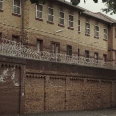
Justizvollzugsanstalt Gießen
2.3 km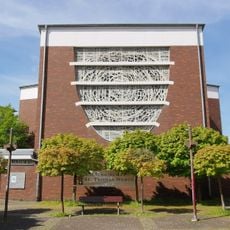
St. Thomas Morus
2.2 km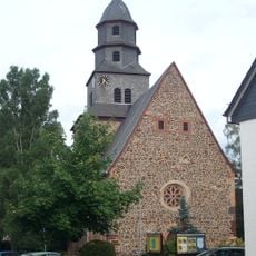
St. Michael
420 m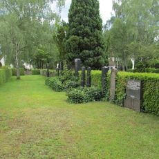
Jüdischer Friedhof
520 m
Neuer Friedhof Gießen
1.4 km
Kirchstraße 25
459 m
Miller Hall
2 km
Poart
348 m
Amtsgerichtsgebäude Gießen
2.3 km
Georg-Philipp-Gail-Straße 10
2.4 km
Grünberger Straße 93
2.1 km
Kirchstraße 47
546 m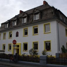
Kugelberg - Friedensstraße
2.3 km
Grünberger Straße 58
2.3 km
Verbindungshaus der Burschenschaft Frankonia
2.2 km
Sachteil Portal (Verbindungshaus der Burschenschaft Adelphia)
2.2 km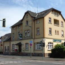
Gasthaus „Zur Karlsruh“
717 m
Kirchstraße 43
501 m
Hochhäuser im Lärchenwäldchen
2.3 km
Gießener Straße 27
262 m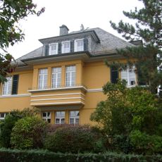
Keßlerstraße 15
233 m
Pestalozzischule
2.2 km
Kirchstraße 27
475 m
Eichgärtenallee, Schwanenteich und Wieseck
2.2 km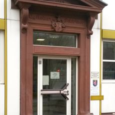
Sachteil Portal
2.3 kmReviews
Visited this place? Tap the stars to rate it and share your experience / photos with the community! Try now! You can cancel it anytime.
Discover hidden gems everywhere you go!
From secret cafés to breathtaking viewpoints, skip the crowded tourist spots and find places that match your style. Our app makes it easy with voice search, smart filtering, route optimization, and insider tips from travelers worldwide. Download now for the complete mobile experience.

A unique approach to discovering new places❞
— Le Figaro
All the places worth exploring❞
— France Info
A tailor-made excursion in just a few clicks❞
— 20 Minutes