
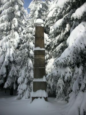
Station 147 Hohenbrand
Station 147 Hohenbrand, Triangulation Column, 2nd Order Station, the Royal Saxon Triangulation in Saxony 1862-1890
Location: Markneukirchen
Inception: 1876
Part of: Royal Saxon triangulation network
Address: Wohlhausen
GPS coordinates: 50.33925,12.38578
Latest update: March 10, 2025 14:18

Musikinstrumenten-Museum Markneukirchen
5.2 km
Vysoký kámen
4.6 km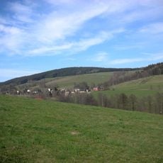
Hoher Brand
351 m
Schwarzberg
5.4 km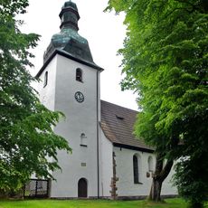
Church of Saint Giles
4.8 km
Marienkirche
5.7 km
Markneukirchen town hall
5.1 km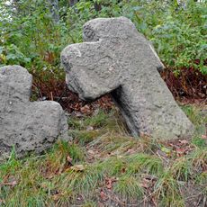
Penitence crosses in Kostelní
4.8 km
Markneukirchen Gymnasium
4.8 km
Ehemaliges Amtsgericht und Gefängnisgebäude Johann-Sebastian-Bach-Straße 13
5.2 km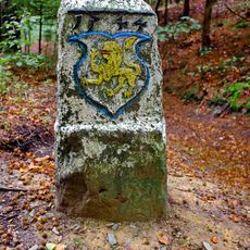
Hraniční kámen
3.1 km
Villa mit Einfriedung und Villengarten Adorfer Straße 38
5.8 km
Villa mit Gartenpavillon, Einfriedung und Villengarten Adorfer Straße 20
5.6 km
Church St. Nicolai Markneukirchen
5.1 km
Kirche Erlbach
3.1 km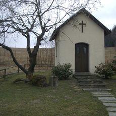
Chapel of Fourteen Holy Helpers
4.2 km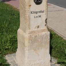
Kgl.-sächs. Postmeilenstein Markneukirchen
3.3 km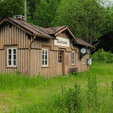
Haltepunkt Gunzen
4 km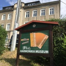
Harmonikamuseum Zwota
3.7 km
Zwei Kriegerdenkmale Oberer Markt
5 km
Markneukirchen old town hall
5 km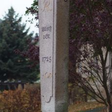
Polish-Saxon Post Milestones in Markneukirchen
5.4 km
Rathaus Markneukirchner Straße 32
3.2 km
Gemeindeamt Klingenthaler Straße 1
2.9 km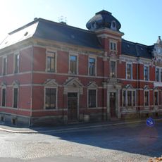
Postgebäude Adorfer Straße 1
5.4 km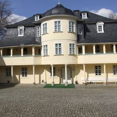
Musikinstrumentenmuseum Bienengarten 2
5.2 km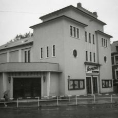
Kino Erlbacher Straße 4
4.8 km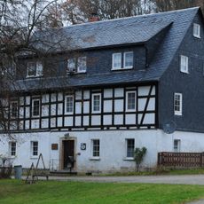
Pfarrhof Obere Dorfstraße 17
5.7 kmReviews
Visited this place? Tap the stars to rate it and share your experience / photos with the community! Try now! You can cancel it anytime.
Discover hidden gems everywhere you go!
From secret cafés to breathtaking viewpoints, skip the crowded tourist spots and find places that match your style. Our app makes it easy with voice search, smart filtering, route optimization, and insider tips from travelers worldwide. Download now for the complete mobile experience.

A unique approach to discovering new places❞
— Le Figaro
All the places worth exploring❞
— France Info
A tailor-made excursion in just a few clicks❞
— 20 Minutes