
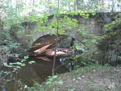
Road bridge, bridge in Germany
Location: Dresden
Inception: 1840
Address: Dresdner Heide
GPS coordinates: 51.09536,13.84074
Latest update: November 28, 2025 14:30
Altarme der Prießnitz
132 m
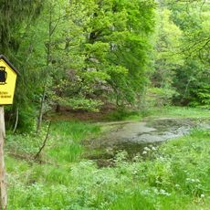
Saugartenmoor
861 m
Oberer Stechgrund
3.1 km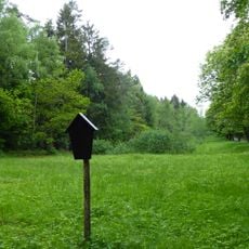
Naturdenkmal Rehwiese Bühlau
2.2 km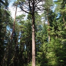
Kiefer Dresdner Heide
1.9 km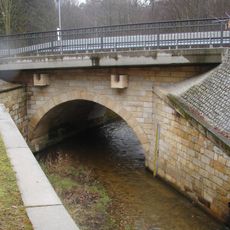
Große Hengstbrücke
148 m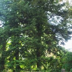
Japanische Hemlocktannen, Herltstraße 2
3.1 km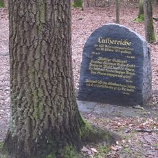
Luthereiche Dresdner Heide
3.3 km
Naturdenkmal Buchenaltholz am Eisenbornbach
3.4 km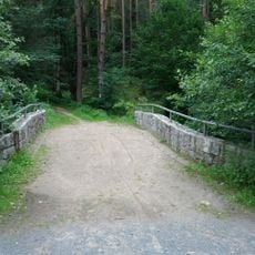
Dresdner Heide
1.1 km
Prießnitzgrund
1.2 km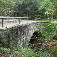
Kannenhenkelbrücke
1.9 km
Friedrich-Ludwig-Jahn-Denkmal
3.1 km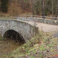
Kuhschwanzbrücke
1 km
Wettinsäule
2.1 km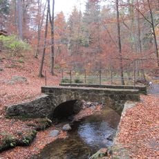
Bergwerksbrücke
3.1 km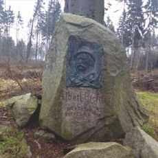
Albert-Richter-Denkmal
2.8 km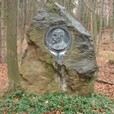
Guido-Hammer-Denkmal
55 m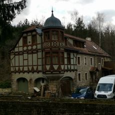
Heidemühle, Wohnhaus
183 m
Denkstein Dresdner Saugarten
1.1 km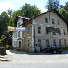
Gasthaus Heidemühle
159 m
Forstdenkmal
3.3 km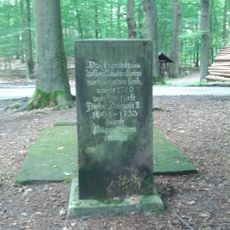
Dielensteine und Gedenkstein
1.1 km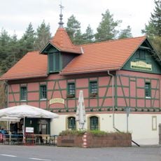
Radeberger Landstraße 101, Gaststätte
101 m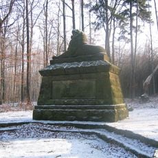
Kriegerdenkmal
3 km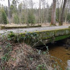
Prießnitzbrücke an der Alten Eins
2.1 km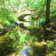
Untere Wettinbrücke
2.3 km
Stausee Haarweidenbach
2.3 kmReviews
Visited this place? Tap the stars to rate it and share your experience / photos with the community! Try now! You can cancel it anytime.
Discover hidden gems everywhere you go!
From secret cafés to breathtaking viewpoints, skip the crowded tourist spots and find places that match your style. Our app makes it easy with voice search, smart filtering, route optimization, and insider tips from travelers worldwide. Download now for the complete mobile experience.

A unique approach to discovering new places❞
— Le Figaro
All the places worth exploring❞
— France Info
A tailor-made excursion in just a few clicks❞
— 20 Minutes