
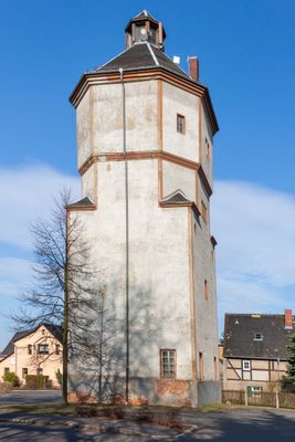
Wasserturm Hohnstädt, Wasserturm; alte Ortslage Hohnstädt, ortsbildbeherrschender Bau, technikgeschichtlich und ortsgeschichtlich von Bedeutung
Location: Grimma
Inception: 1913
Address: Hohnstädt
GPS coordinates: 51.25230,12.72984
Latest update: March 3, 2025 05:05
Göschenhaus Grimma
121 m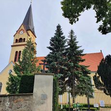
Kirche Hohnstädt
128 m
Seumepark Hohnstädt (Grimma)
309 m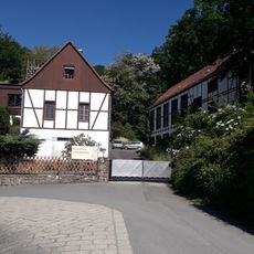
Grundmühle
692 m
Trompetenbaum am Fünfhäuserweg
112 m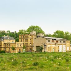
Dornaer Weg 4
1.2 km
Ginkgo am Herrenhaus
957 m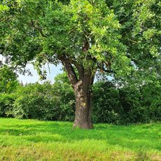
Eiche am Volkshausplatz
1.4 km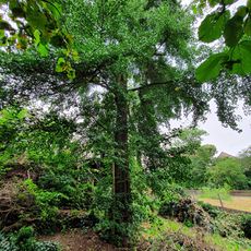
Ginkgo am Fünfhäuserweg
109 m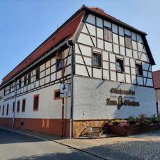
Göschen-Gut
135 m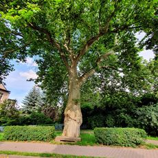
Platane in Wurzener Strasse
1.3 km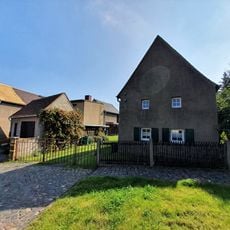
Wasserturmstr 12
28 m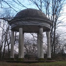
Aussichtspavillon, sogenannter Tempel Am Wall -
914 m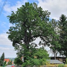
Oak at the sports field Hohnstädt
443 m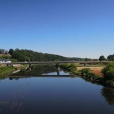
Muldebrücke Grimma
1.4 km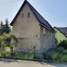
Muldenstr 32
221 m
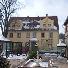
Rittergut Hohnstädt - Grundstück mit Herrenhaus, Mauer und Brunnenschacht
210 m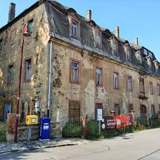
Rittergut Hohnstädt
210 m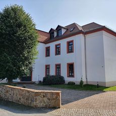
Seumestr 34
295 m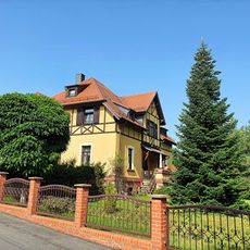
Seumestr 7
359 m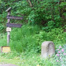
Kgl.-sächs. Postmeilenstein Wurzener Straße
987 m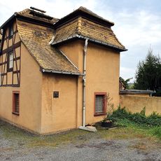
Im Steingarten 3, Grimma
1.5 km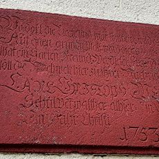
Commemorative plaque, Im Steingarten 2, Grimma
1.4 km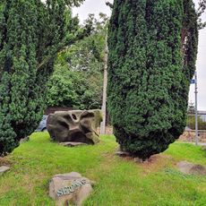
Seumestein Hohnstädt
98 m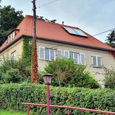
Am Rappenberg 4
1.4 km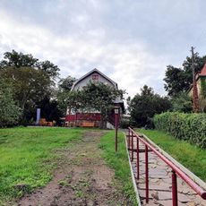
Am Rappenberg 3
1.4 km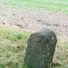
Kilometerstein Wurzener Straße
1.2 km
Pavillon am Seumeparkweg 2
424 mReviews
Visited this place? Tap the stars to rate it and share your experience / photos with the community! Try now! You can cancel it anytime.
Discover hidden gems everywhere you go!
From secret cafés to breathtaking viewpoints, skip the crowded tourist spots and find places that match your style. Our app makes it easy with voice search, smart filtering, route optimization, and insider tips from travelers worldwide. Download now for the complete mobile experience.

A unique approach to discovering new places❞
— Le Figaro
All the places worth exploring❞
— France Info
A tailor-made excursion in just a few clicks❞
— 20 Minutes