
Güttingloch und Goldbergbauspuren Gütting-Unterlangau, Geotop in Landkreis Schwandorf in Bavaria, Germany
Location: Oberviechtach
Elevation above the sea: 580 m
Length: 300 m
Width: 200 m
Part of: Cultural heritage D-3-6440-0003 in Oberviechtach
GPS coordinates: 49.51087,12.48063
Latest update: October 25, 2025 15:49
Stückstein
4.7 km
Gaisthal
3.9 km
St. Vitus
1.5 km
Hammerschloss
1.6 km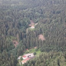
Rosenhof (Schönsee)
3 km
Edelsitz Gaisheim (Moosbach)
4.4 km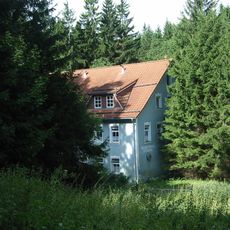
Rosenthal
3.5 km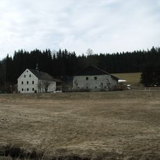
Ehemaliges Hammerherrenhaus, dann Mühle, sogenannte Mollermühle, bis 1937 Spiegelglasschleife
4 km
St. Bartholomäus
3.2 km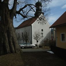
St. Laurentius
3.9 km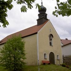
Vierzehn Nothelferkapelle (Schönsee)
4.3 km
Giebelständiges Eckhaus
4.7 km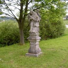
Steinfigur hl. Johannes von Nepomuk
4.3 km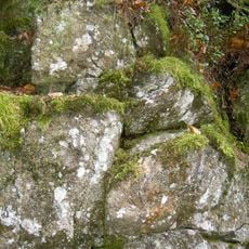
Lenkenhammerfels WSW von Muggenthal
3.6 km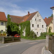
Wohnhaus
1.7 km
Grabmal Kirchenbühl in Oberviechtach
3.2 km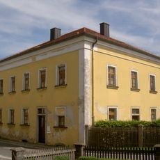
Forstdienststelle
1.7 km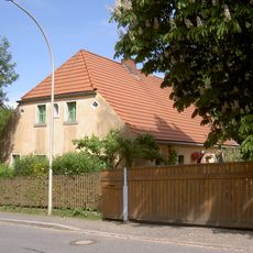
Wohnstallhaus
1.7 km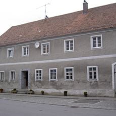
Wohnhaus
4.7 km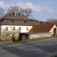
Ehemaliges Hammergut, sogenannter Schallerhammer
4.3 km
Grabmal Pullenried 43 in Oberviechtach
1.5 km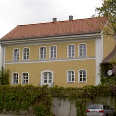
Ehemalige staatliche Klöppelschule
4.5 km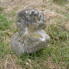
Steinkreuz Oberlangau
4.2 km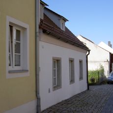
Ehemaliges Handwerkerhaus
4.7 km
Wildenmühle
4.7 km
Greinerschleife
687 m
Eiskeller von 1872
3.9 km
Güttingloch
37 mReviews
Visited this place? Tap the stars to rate it and share your experience / photos with the community! Try now! You can cancel it anytime.
Discover hidden gems everywhere you go!
From secret cafés to breathtaking viewpoints, skip the crowded tourist spots and find places that match your style. Our app makes it easy with voice search, smart filtering, route optimization, and insider tips from travelers worldwide. Download now for the complete mobile experience.

A unique approach to discovering new places❞
— Le Figaro
All the places worth exploring❞
— France Info
A tailor-made excursion in just a few clicks❞
— 20 Minutes