
Felsgruppe Fischerbuxn ENE von Kragenried, Geotop in Landkreis Cham in Bavaria, Germany
Location: Zell
Elevation above the sea: 560 m
Length: 80 m
Width: 25 m
Website: http://www.umweltatlas.bayern.de/mapapps/resources/reports/geotope/generateBericht.pdf?additionallayerfieldvalue=372R004
GPS coordinates: 49.12775,12.42589
Latest update: March 9, 2025 02:18
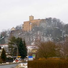
Burg Falkenstein
5.3 km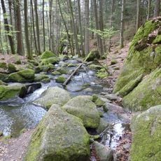
Hölle
4 km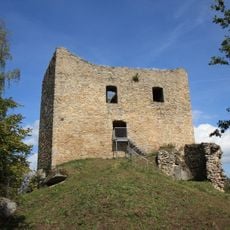
Burgruine Lobenstein
2.5 km
Burgruine Sengersberg
3.3 km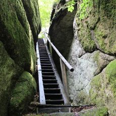
Schloßpark Falkenstein
5.2 km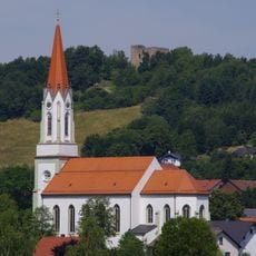
Mariä Himmelfahrt
1.9 km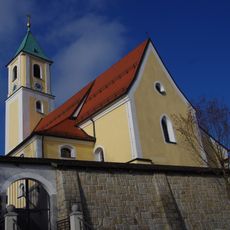
St. Jakobus Maior
5.1 km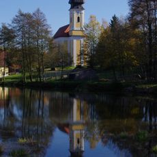
St. Leonhard
3.7 km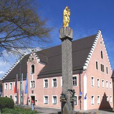
Rathaus, ehemaliges Pflegamt
5.4 km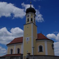
St. Martin
870 m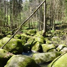
Blockmeer im NSG "Hölle" NW von Postfelden
4.9 km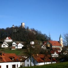
Katholische Marktkirche St. Sebastian
5.4 km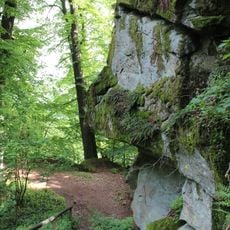
Burgberg Falkenstein
5.3 km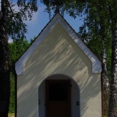
Hofkapelle St. Maria
4.8 km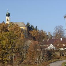
Church of St. Peter and Paul
2.7 km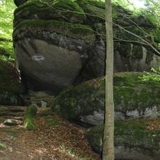
Froschmaul am Burgberg Falkenstein
5.1 km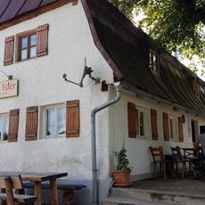
Gasthaus
2.8 km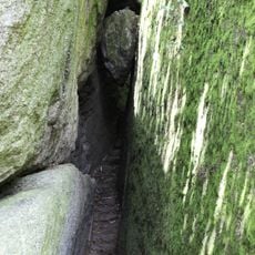
Herzbeutelgässchen am Burgberg NW von Falkenstein
5.2 km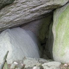
Hohler Stein am Burgberg NW von Falkenstein
5.2 km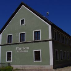
Ehemaliges Schulhaus
5.4 km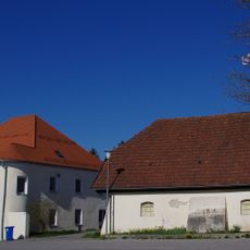
Ehemaliges Neues Schloss, jetzt Brauereigasthof
2 km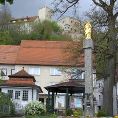
Marienfigur
5.4 km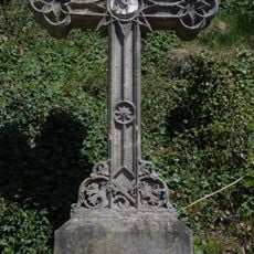
Wegkreuz
5.3 km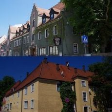
Gasthof
5.5 km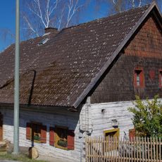
Ehemalige Schmiede
2.1 km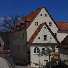
Wohnhaus
5.4 km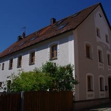
Wohnhaus
5.4 km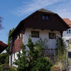
Wohnhaus
5.3 kmReviews
Visited this place? Tap the stars to rate it and share your experience / photos with the community! Try now! You can cancel it anytime.
Discover hidden gems everywhere you go!
From secret cafés to breathtaking viewpoints, skip the crowded tourist spots and find places that match your style. Our app makes it easy with voice search, smart filtering, route optimization, and insider tips from travelers worldwide. Download now for the complete mobile experience.

A unique approach to discovering new places❞
— Le Figaro
All the places worth exploring❞
— France Info
A tailor-made excursion in just a few clicks❞
— 20 Minutes