
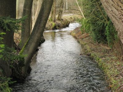
Gebiet um den Langwieder Autobahnsee unter Einschluß des anschließenden Gebietes links der Autobahn München-Stuttgart
Gebiet um den Langwieder Autobahnsee unter Einschluß des anschließenden Gebietes links der Autobahn München-Stuttgart, protected landscape in Bavaria, Germany
Location: Munich
Inception: 1964
GPS coordinates: 48.19452,11.41746
Latest update: March 3, 2025 01:43

Burgstall Aubing
3.1 km
Russenbrücke
2.1 km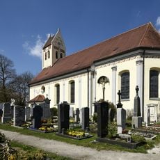
St. Peter und Paul
3.1 km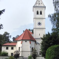
St. Michael
1.8 km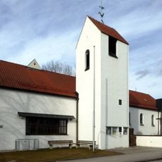
Epiphaniaskirche
3.3 km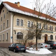
Landgasthof Langwied
1.5 km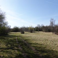
Langwieder Heide
3 km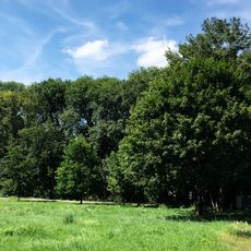
Lochholz
2.3 km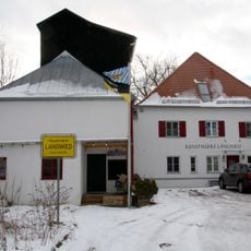
Kunstmühle Langwied
1.8 km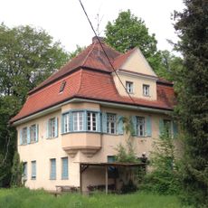
Schussenrieder Straße 3
1.9 km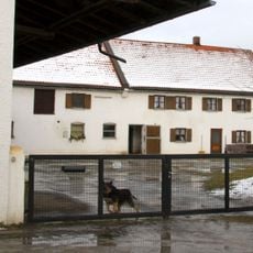
Berglwiesenstraße 134
1.7 km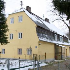
Müllerstadelstraße 171
1.2 km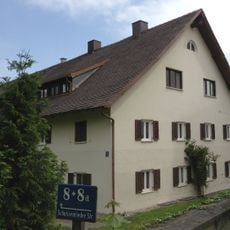
Schussenrieder Straße 8
1.8 km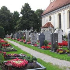
Friedhof Eversbuschstraße 195; Eversbuschstraße 197 in München
3 km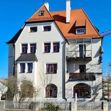
Georg-Reismüller-Straße 46 (Allach)
3.2 km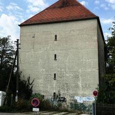
Hochbunker Franz-Nißl-Straße
3.3 km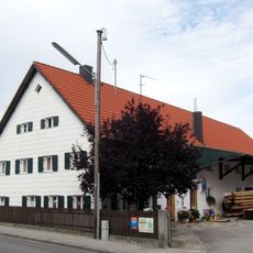
Bauernhaus
3 km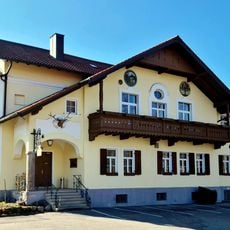
Gasthaus
2.9 km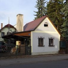
Hof- und Wagenschmiede
3 km
Ehemaliger Edelsitz oder stattliches Wohnhaus
3 km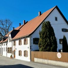
Eversbuschstraße 193
3 km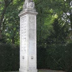
Kriegerdenkmal
3.2 km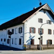
Eversbuschstraße 166
3.1 km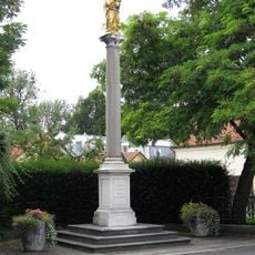
Mariensäule
3 km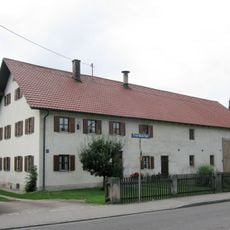
Bauernhaus
3 km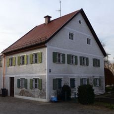
Bauernhaus
2.9 km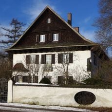
Wirtschaftsgebäude des geplanten Exerzitienhauses "Instauratio"
2.9 km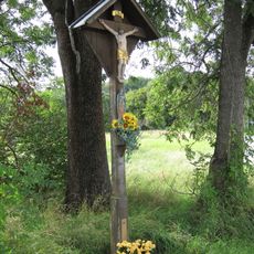
Wegkreuz
2.4 kmReviews
Visited this place? Tap the stars to rate it and share your experience / photos with the community! Try now! You can cancel it anytime.
Discover hidden gems everywhere you go!
From secret cafés to breathtaking viewpoints, skip the crowded tourist spots and find places that match your style. Our app makes it easy with voice search, smart filtering, route optimization, and insider tips from travelers worldwide. Download now for the complete mobile experience.

A unique approach to discovering new places❞
— Le Figaro
All the places worth exploring❞
— France Info
A tailor-made excursion in just a few clicks❞
— 20 Minutes