
Rabbruch und Osternheuland, protected area in the European Union defined by the habitats directive in Nordrhein-Westfalen, Germany
Location: Geseke
Location: Salzkotten
Inception: 2000
GPS coordinates: 51.66914,8.51062
Latest update: June 4, 2025 12:46
Schloss Störmede
4.6 km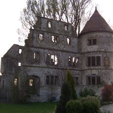
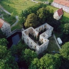
Vernaburg
4.4 km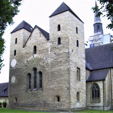
Frauenstift Geseke
3.3 km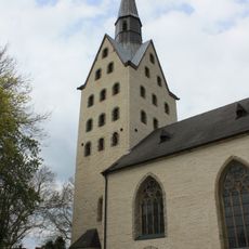
St. Cyriakus (Geseke)
3.3 km
St. Petri
3.1 km
St. Petrus
6.3 km
St. Bartholomäus (Verne)
4.2 km
Saint Martin Church
5.8 km
Haus Thoholte
3 km
St. Vitus
3.7 km
St. Pankratius
4.5 km
Stockheimer Bruch
2.4 km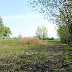
Hederaue mit Thueler Moorkomplex
5.4 km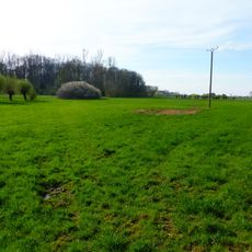
Osternheuland - In den Erlen
2.5 km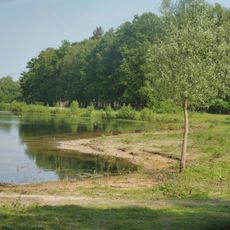
Boker Heide
5.3 km
St. Philipp Neri
3.4 km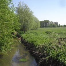
Rabbruch und Osternheuland
2.5 km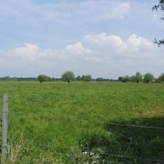
Lippeniederung V - Heitwinkel
5.7 km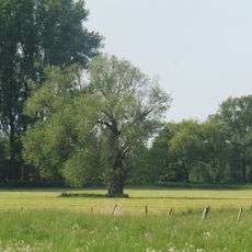
Lippeniederung VI – Mantinghausen
3.2 km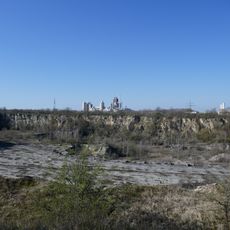
Steinbrüche Gröne
5 km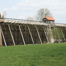
Graduation tower Salzkotten
6.3 km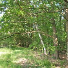
Hügelgräberfeld Mantinghausen
4.4 km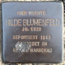
Stolperstein für Hilde Blumenfeld
6.1 km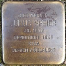
Stolperstein für Julius Speier
6.4 km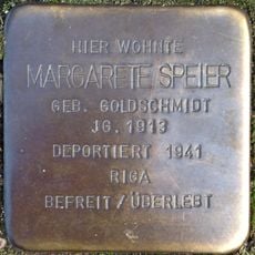
Stolperstein für Margarete Speier
6.4 km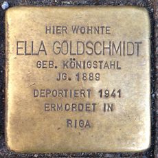
Stolperstein für Ella Goldschmidt
6.4 km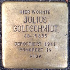
Stolperstein für Julius Goldschmidt
6.4 km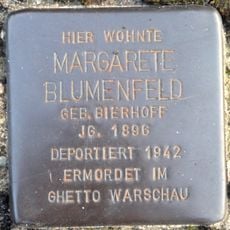
Stolperstein für Margarete Blumenfeld
6.1 kmReviews
Visited this place? Tap the stars to rate it and share your experience / photos with the community! Try now! You can cancel it anytime.
Discover hidden gems everywhere you go!
From secret cafés to breathtaking viewpoints, skip the crowded tourist spots and find places that match your style. Our app makes it easy with voice search, smart filtering, route optimization, and insider tips from travelers worldwide. Download now for the complete mobile experience.

A unique approach to discovering new places❞
— Le Figaro
All the places worth exploring❞
— France Info
A tailor-made excursion in just a few clicks❞
— 20 Minutes