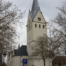
Geseke, Medieval trading post in Soest, Germany.
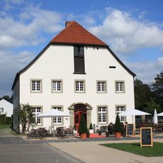
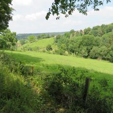
Geseke is a medieval town located between the Haarstrang and Münsterland regions along the historic Hellweg trade route. The preserved town walls have been converted into walking paths that define the character of the place.
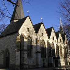
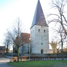
The settlement was first documented in 833 and later became an important member of the Hanseatic League. This trading network shaped the town's development and prosperity across the centuries.
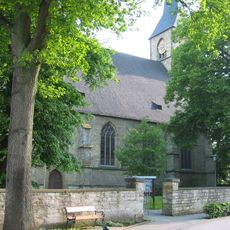
The Geseker Gösselkirmes is an annual fair held on the first Thursday in May that gathers locals and visitors for traditional celebrations. This event shapes the local rhythm and shows how the town maintains its customs.
The town is easily accessible by the Ems-Börde-Bahn railway line and the B1 highway, with convenient connections to larger cities. The old town with its walls is straightforward to explore on foot and invites leisurely walks.
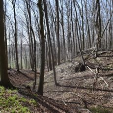
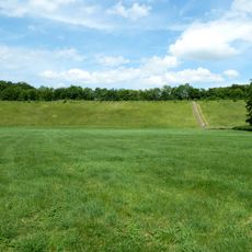
At Dyckerhoff Park, visitors can observe active quarry operations and discover limestone formations over 88 million years old from the Upper Cretaceous period. These glimpses into Earth's history make the site an unexpected window into prehistoric times.
Location: Soest
Elevation above the sea: 105 m
Shares border with: Salzkotten, Lippstadt, Erwitte, Rüthen, Büren
Email: e-poststelle@geseke.de
Website: https://geseke.de
GPS coordinates: 51.63972,8.50861
Latest update: December 20, 2025 00:05
Schloss Schwarzenraben
6.7 km
Schloss Eringerfeld
6.4 km
Schloss Störmede
2.9 km
Vernaburg
6.7 km
Frauenstift Geseke
219 m
St. Cyriakus (Geseke)
220 m
St. Petri
254 m
Hünenburg auf dem Hahnenberg
8.6 km
Hochwasserrückhaltebecken Eringerfeld
5.3 kmFranziskanerobservantenkloster Geseke
185 m
St. Bartholomäus (Verne)
6.3 km
Haus Thoholte
356 mKlosterkirche St. Johannes Baptist (Geseke)
184 m
St. Vitus
5.3 km
St. Pankratius
2.7 kmVölmeder Quellen
1.1 kmSchwesternhaus Störmede (bei Geseke)
2.9 km
Stockheimer Bruch
2.7 kmPrövenholz
4.5 km
LSG Fließgewässer, Auen und kleine Täler
8.4 kmEringerfelder Wald-Nord und Westerschledde
5.8 km
Osternheuland - In den Erlen
4.9 kmPagenholz
7.1 km
Ochsenholz
3.7 kmSteinbruch „Kohle IV“
1.5 kmEringerfelder Wald-Süd
6.7 kmSteinbrüche – Auf der Höhe
3 km
Rabbruch und Osternheuland
5.2 kmVisited this place? Tap the stars to rate it and share your experience / photos with the community! Try now! You can cancel it anytime.
Discover hidden gems everywhere you go!
From secret cafés to breathtaking viewpoints, skip the crowded tourist spots and find places that match your style. Our app makes it easy with voice search, smart filtering, route optimization, and insider tips from travelers worldwide. Download now for the complete mobile experience.
A unique approach to discovering new places❞
— Le Figaro
All the places worth exploring❞
— France Info
A tailor-made excursion in just a few clicks❞
— 20 Minutes