
Oberes Merchtal, protected area in Germany
Location: Illingen
Inception: 1990
GPS coordinates: 49.35290,7.03109
Latest update: March 10, 2025 08:30

Grube Göttelborn
1.2 km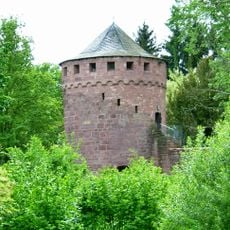
Burg Illingen
3.3 km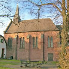
Bergkapelle
1.4 km
St. Stephan
3.2 km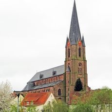
St. Josef
2.8 km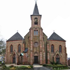
Mariä Himmelfahrt
3.3 km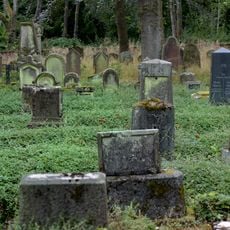
Jewish cemetery, Illingen
3.5 km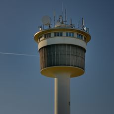
Wasserturm Heusweiler-Holz
3.1 km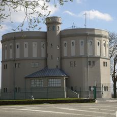
Water tower in Göttelborn
1.7 km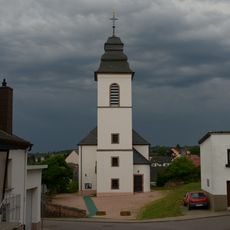
Evangelische Kirche
3.1 km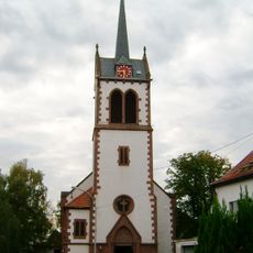
Evangelische Pfarrkirche Wahlschied
2.6 km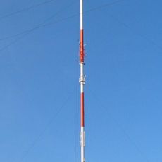
Göttelborner Höhe
1.7 km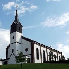
St. Jakobus
3.5 km
Quierschder Wambe
3.5 km
Ehrenmal
3.3 km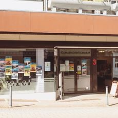
Gemeindebücherei Quierschied
3.5 km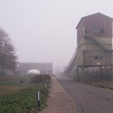
Landabsatz
1.1 km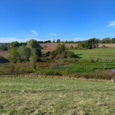
Illingen - Malzbach
2.1 km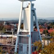
Fördergerüst Schacht 4
1.2 km
Schlammweiher Hahnwies
397 m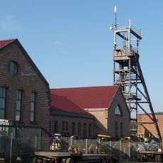
Fördergerüst Schacht Holz
2.8 km
Quierschieder Stollen
2.7 km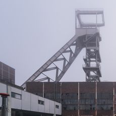
Fördergerüst Schacht 2
1.1 km
Schule
2.7 km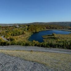
Göttelborn Kohlbachtalweiher
2.1 km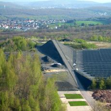
Himmelspfeil
1.8 km
SM 60013
2 km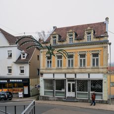
Marienstraße 22
3.4 kmReviews
Visited this place? Tap the stars to rate it and share your experience / photos with the community! Try now! You can cancel it anytime.
Discover hidden gems everywhere you go!
From secret cafés to breathtaking viewpoints, skip the crowded tourist spots and find places that match your style. Our app makes it easy with voice search, smart filtering, route optimization, and insider tips from travelers worldwide. Download now for the complete mobile experience.

A unique approach to discovering new places❞
— Le Figaro
All the places worth exploring❞
— France Info
A tailor-made excursion in just a few clicks❞
— 20 Minutes