
Einfriedung Maria-Ward-Straße 16 in Simbach am Inn
Einfriedung Maria-Ward-Straße 16 in Simbach am Inn, cultural heritage monument D-2-77-145-24 (1) in Simbach am Inn, Bavaria
Location: Simbach am Inn
Part of: Simbach Institut Marienhöhe
Address: Maria-Ward-Straße 16
GPS coordinates: 48.26630,13.02182
Latest update: October 27, 2025 09:47

Simbach (Inn)
363 m
Stadtplatz 1 (Braunau am Inn)
1.2 km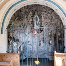
Mooskapelle
327 m
Maria unbefleckte Empfängnis
374 m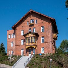
Roscher-Villa
673 m
Innstraße 36
809 m
Villa
736 m
Stadtbefestigung inkl. Gräben und Reste ehem. Befestigungsbauten
1.2 km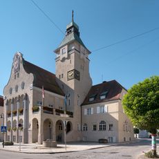
Rathaus Simbach am Inn
466 m
Simbach Institut Marienhöhe
44 m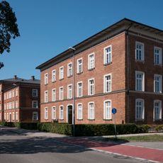
Gebäudegruppe Münchner Straße 22,24,26,28,20
170 m
Platanenallee
249 m
Apotheke
491 m
Ehemaliges Elektrizitätswerk
591 m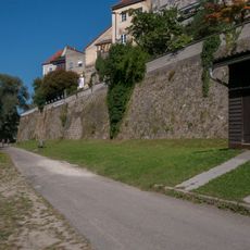
Mauern, Teil d. ma. Stadtbefestigung
1.2 km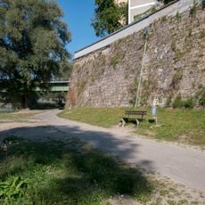
Mauern, Teil d. ma. Stadtbefestigung
1.2 km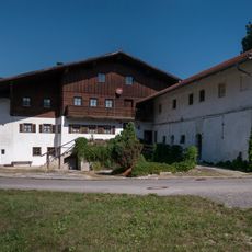
Bauernhof mit Sägemühle
446 m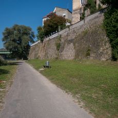
Mauern, Teil d. ma. Stadtbefestigung
1.2 km
Doppelhaus
270 m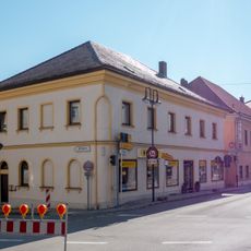
Wohn- und Geschäftshaus
446 m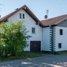
Ehem. Bauernhaus
476 m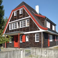
Wohnhaus in Holz-Fertigteilbau
897 m
Ehem. Hauptzollamt
923 m
Heimatmuseum Simbach am Inn
508 m
Gasthaus
460 m
Mural, Work of art
1.1 km
Scenic viewpoint
994 m
Aenus-Skulptur
932 mReviews
Visited this place? Tap the stars to rate it and share your experience / photos with the community! Try now! You can cancel it anytime.
Discover hidden gems everywhere you go!
From secret cafés to breathtaking viewpoints, skip the crowded tourist spots and find places that match your style. Our app makes it easy with voice search, smart filtering, route optimization, and insider tips from travelers worldwide. Download now for the complete mobile experience.

A unique approach to discovering new places❞
— Le Figaro
All the places worth exploring❞
— France Info
A tailor-made excursion in just a few clicks❞
— 20 Minutes