
Hanetaarnet, Ruine in Dänemark
Location: Copenhagen Municipality
GPS coordinates: 55.68264,12.57557
Latest update: March 28, 2025 04:20
Rundetaarn
142 m
Reformed Church
129 m
Rosenborggade 7–9
143 m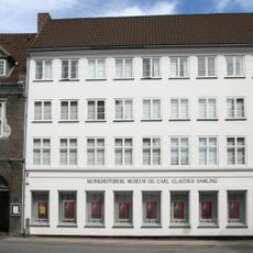
The Danish Music Museum
91 m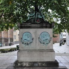
Johannes Ewald and Johan Hermann Wessel Memorial
150 m
KFUM-borgen
168 m
Sankt Gertruds Stræde 10
112 m
Hauser Plads 24
56 m
Hauser Plads 16
37 m
Åbenrå 25
74 m
Åbenrå 27
78 m
Rosenborggade 10
124 m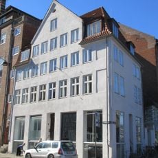
Rosenborggade 19
171 m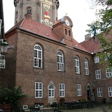
レーゲンス教会
155 m
Hauser Plads 14
35 m
Hauser Plads 12
32 m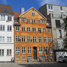
Åbenrå 26
90 m
Gothersgade 89
159 m
Hauser Plads 28
45 m
Hauser Plads 18
45 m
Sankt Gertruds Stræde 4
80 m
Sankt Gertruds Stræde 8
99 m
Hausergade 36
65 m
Hausergade 34
59 m
Sankt Gertruds Stræde 6
90 m
Knud Højgaards Hus
45 m
Hauser Plads 10
35 m
Pjaltenborg
131 mReviews
Visited this place? Tap the stars to rate it and share your experience / photos with the community! Try now! You can cancel it anytime.
Discover hidden gems everywhere you go!
From secret cafés to breathtaking viewpoints, skip the crowded tourist spots and find places that match your style. Our app makes it easy with voice search, smart filtering, route optimization, and insider tips from travelers worldwide. Download now for the complete mobile experience.

A unique approach to discovering new places❞
— Le Figaro
All the places worth exploring❞
— France Info
A tailor-made excursion in just a few clicks❞
— 20 Minutes