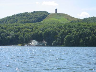
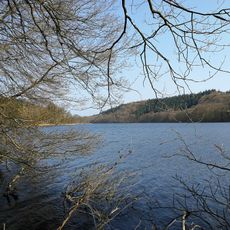
Julsø, Lake system in Silkeborg region, Denmark.
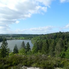
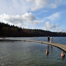
Julsee is a large lake in the region between Silkeborg and Ry spanning around 565 hectares of water. The lake contains four islands and reaches depths of more than 17 meters in places.
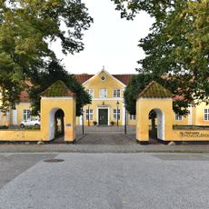
Medieval fortification called Dynæs stands on the northern shores on a promontory jutting into the water. This structure shows the area held strategic importance in earlier centuries.
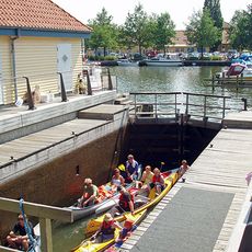
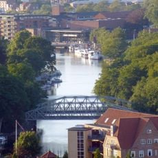
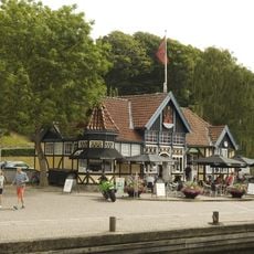
The lake holds meaning for the local community through gatherings and outdoor events that bring people together throughout the year. These occasions reflect how residents and visitors connect with this body of water.
If you want to use a boat, you need a Gudenå boat license for navigation on the water. For fishing, both a national permit and additional authorization from local fishing clubs are required.
Beneath the water lies a deep spot called Graven at about 19 meters deep, situated between two islands. A gull colony nests near this location, which visitors can observe from passing boats.
The community of curious travelers
AroundUs brings together thousands of curated places, local tips, and hidden gems, enriched daily by 60,000 contributors worldwide.