
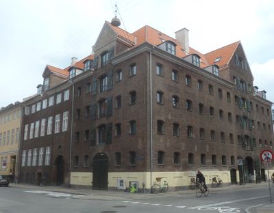
Topps Gård, building in Copenhagen
Location: Copenhagen Municipality
GPS coordinates: 55.67442,12.59081
Latest update: March 2, 2025 23:52
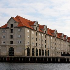
Eigtveds Pakhus
100 m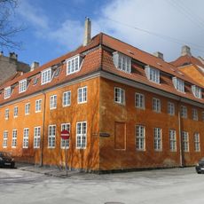
Old Artillery Barracks, Christianshavn
80 m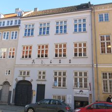
Strandgade 38
38 m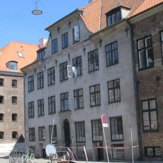
Mikkel Vibe House
25 m
Niels Brock House
29 m
Andreas Bjørn House
129 m
Behagen House
67 m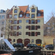
Snorrebroens Pakhus
113 m
Cort Adeler House
101 m
Strandgade 30
39 m
Strandgade 28
50 m
Wildersgade Barracks
109 m
Strandgade 24
86 m
Danish Art Workshops
117 m
Overgaden Neden Vandet 39
123 m
Sankt Annæ Gade 4
31 m
Sankt Annæ Gade 22
114 m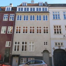
Strandgade 40
51 m
Wildersgade 41
73 m
Wildersgade 37
95 m
Overgaden Neden Vandet 37
129 m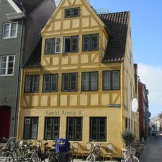
Wildersgade 52
75 m
Wildersgade 46
90 m
Wildersgade 43
64 m
Strandgade 42
58 m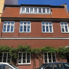
Overgaden Neden Vandet 35
134 m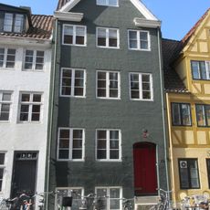
Sankt Annæ Gade 10
79 m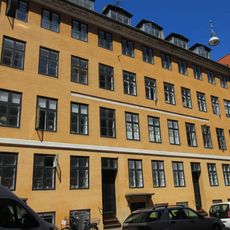
Wildersgade 49
51 mReviews
Visited this place? Tap the stars to rate it and share your experience / photos with the community! Try now! You can cancel it anytime.
Discover hidden gems everywhere you go!
From secret cafés to breathtaking viewpoints, skip the crowded tourist spots and find places that match your style. Our app makes it easy with voice search, smart filtering, route optimization, and insider tips from travelers worldwide. Download now for the complete mobile experience.

A unique approach to discovering new places❞
— Le Figaro
All the places worth exploring❞
— France Info
A tailor-made excursion in just a few clicks❞
— 20 Minutes