
Hageri Karst Area, karst area in Estonia
Location: Kohila Rural Municipality
GPS coordinates: 59.16132,24.65748
Latest update: March 8, 2025 18:21
Kernu Manor
9.4 km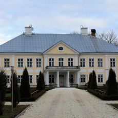
Ääsmäe Manor
11.6 km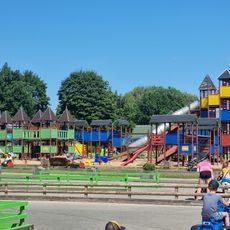
Vembu-Tembumaa
8.1 km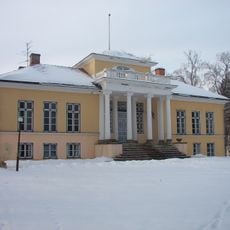
Pirgu Manor
11.3 km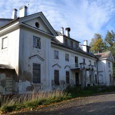
Purila Manor
13.1 km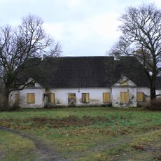
Voore manor (Harju County)
11.6 km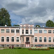
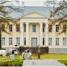
Tohisoo Manor
6.1 km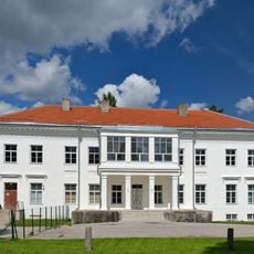
Kohila manor
5.5 km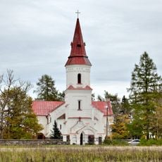
Hageri Church
489 m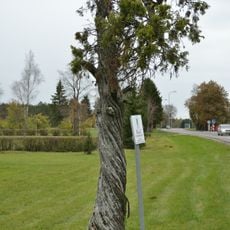
Kernu juniper
9.6 km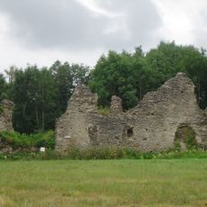
Angerja Castle
11.4 km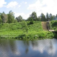
Lohu Jaanilinn
7.4 km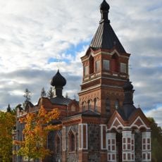
Kohila orthodox church
6.2 km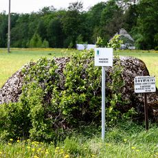
Hageri hiiekivi
775 m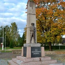
Kohila Vabadussõja mälestussammas
5.6 km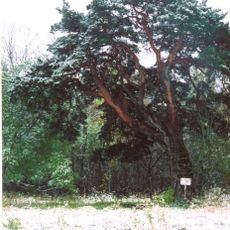
Käharpea mänd
14.1 km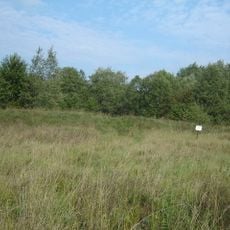
Lohu II linnus
7.5 km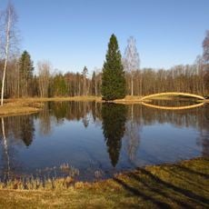
Lümandu Springs
4.8 km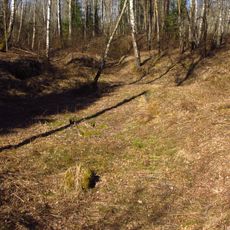
Urge kuristik
5.9 km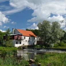
Kohila vesiveski
5.7 km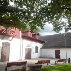
Kohila Library
5.5 km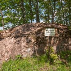
Ussipõllu rändrahn
14 km
Детский парк
5.5 km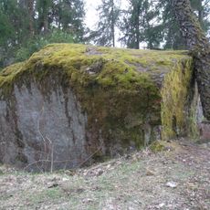
Mägrakivi
13.5 km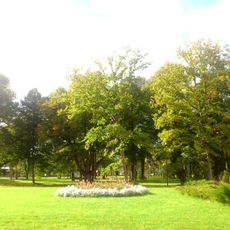
Тохисоо
6.2 km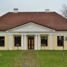
Ruunavere coaching inn
15.1 km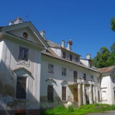
Purila manor house
13.1 km
Kohila manor house
5.5 kmReviews
Visited this place? Tap the stars to rate it and share your experience / photos with the community! Try now! You can cancel it anytime.
Discover hidden gems everywhere you go!
From secret cafés to breathtaking viewpoints, skip the crowded tourist spots and find places that match your style. Our app makes it easy with voice search, smart filtering, route optimization, and insider tips from travelers worldwide. Download now for the complete mobile experience.

A unique approach to discovering new places❞
— Le Figaro
All the places worth exploring❞
— France Info
A tailor-made excursion in just a few clicks❞
— 20 Minutes