
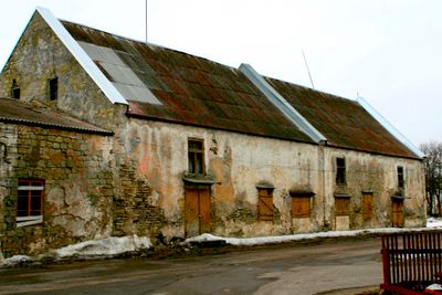
Sadamaait, building in Saaremaa Rural Municipality, Estonia
Location: Saaremaa Rural Municipality
GPS coordinates: 58.24969,22.47628
Latest update: April 6, 2025 18:22
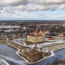
Kuressaare Castle
358 m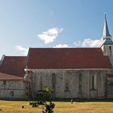
Kaarma Church
11.2 km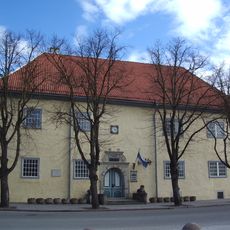
Kuressaare Town Hall
642 m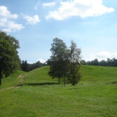
Kaarma hill fort
11.3 km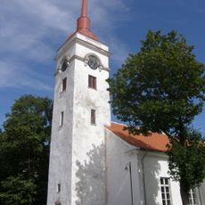
St. Lawrence's Church
772 m
Abruka Nature Reserve
11.6 km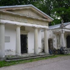
Kudjape Cemetery
3.3 km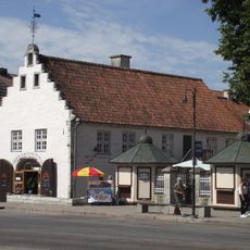
Kuressaare Weigh House
647 m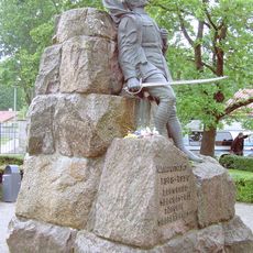
Monument to the War of Independence in Kuressaare
559 m
West Estonian Archipelago Biosphere Reserve
5.8 km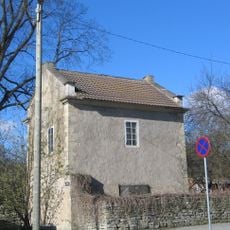
Põlluvahi maja
418 m
Kuressaare suursild
1.6 km
Abruka Lighthouse
11.6 km
St. Nicholas Orthodox Church (Kuressaare)
428 m
Saaremaa rüütelkonna hoone
610 m
Ferrum (Kuressaare)
715 m
Kuressaare kuursaal
171 m
Pähkla Spring
6 km
Ekesparre House
331 m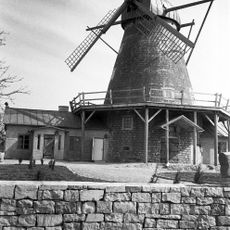
Kuressaare tuuleveski
825 m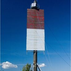
Abruka front light beacon
11.6 km
Nasva harbour front light beacon
5.5 km
Roomassaare front light beacon
4.4 km
Nasva harbour rear light beacon
5.2 km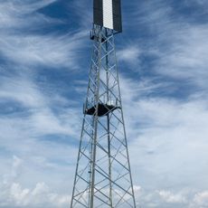
Roomassaare rear light beacon
3.7 km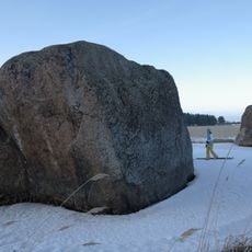
Vahase saare II hiidrahn
11.8 km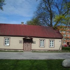
The Aavik House Museum
1 km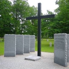
Kuressaare German soldiers cemetery
3.2 kmReviews
Visited this place? Tap the stars to rate it and share your experience / photos with the community! Try now! You can cancel it anytime.
Discover hidden gems everywhere you go!
From secret cafés to breathtaking viewpoints, skip the crowded tourist spots and find places that match your style. Our app makes it easy with voice search, smart filtering, route optimization, and insider tips from travelers worldwide. Download now for the complete mobile experience.

A unique approach to discovering new places❞
— Le Figaro
All the places worth exploring❞
— France Info
A tailor-made excursion in just a few clicks❞
— 20 Minutes