
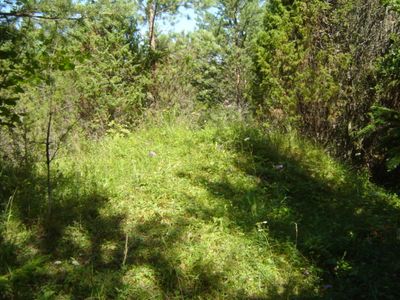
Võhma maalinn
Location: Saaremaa Rural Municipality
GPS coordinates: 58.53693,22.35727
Latest update: March 18, 2025 21:00
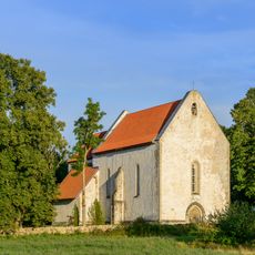
Karja Church
21.9 km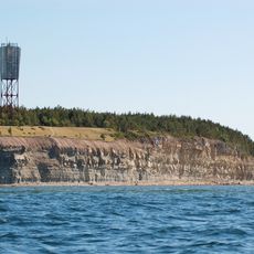
Panga Cliff
5.5 km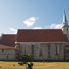
Kaarma Church
22.7 km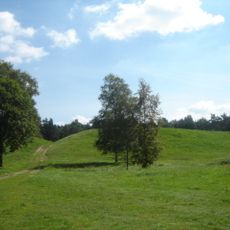
Kaarma hill fort
22.8 km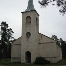
Emmaste Church
23.2 km
Port of Sõru
19.7 km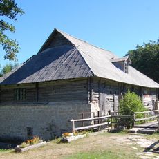
Pidula Manor
17.6 km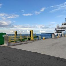
Triigi Harbour
21.9 km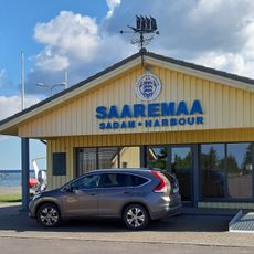
Saaremaa Harbour
7.1 km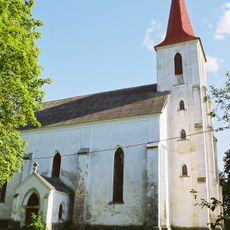
Mustjala Church
10.9 km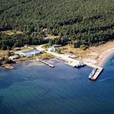
Port de Veere
19.8 km
Liiva-Putla Nature Reserve
21.7 km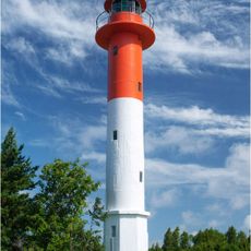
Sõru rear lighthouse
20 km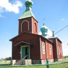
Metsküla Orthodox Church
10.9 km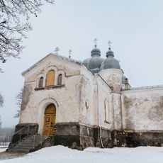
Leisi Orthodox Church
19.5 km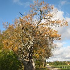
Tärkma ohvritamm
23.3 km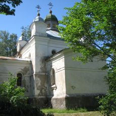
Mustjala Orthodox Church
10.8 km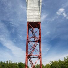
Panga light beacon
5.4 km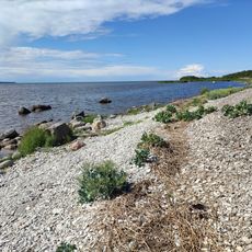
Abula Cliff
17.1 km
Emmaste rahvamaja
23.2 km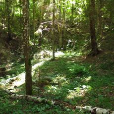
Küdema kurisud
8.6 km
Merise light beacon
13.5 km
Emmaste front lighthouse
20.6 km
Sõru kabeliaed
20 km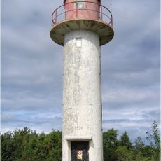
Sõru front lighthouse
19.9 km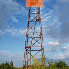
Emmaste rear light beacon
21.2 km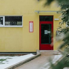
Leisi Library
19.3 km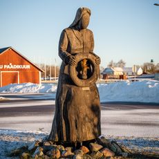
Mereema
19.9 kmReviews
Visited this place? Tap the stars to rate it and share your experience / photos with the community! Try now! You can cancel it anytime.
Discover hidden gems everywhere you go!
From secret cafés to breathtaking viewpoints, skip the crowded tourist spots and find places that match your style. Our app makes it easy with voice search, smart filtering, route optimization, and insider tips from travelers worldwide. Download now for the complete mobile experience.

A unique approach to discovering new places❞
— Le Figaro
All the places worth exploring❞
— France Info
A tailor-made excursion in just a few clicks❞
— 20 Minutes