
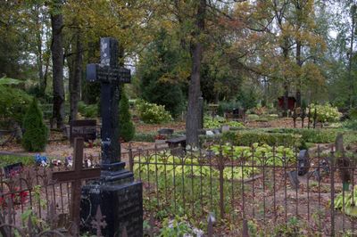
Kõpu kalmistu, Friedhof in Estland
Location: Põhja-Sakala Rural Municipality
GPS coordinates: 58.33243,25.31430
Latest update: September 25, 2025 07:39
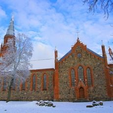
St. Paul's Church
16.6 km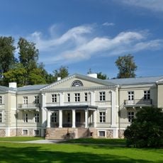
Suure-Kõpu Manor
1.6 km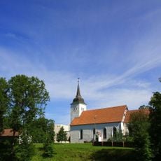
St. John's Church, Viljandi
16.8 km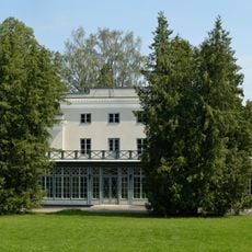
Heimtali manor
11.2 km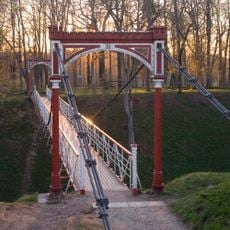
Viljandi Castle Park suspension bridge
16.6 km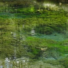
Sinialliku Springs
14.8 km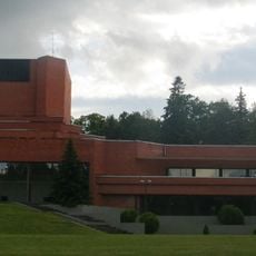
Building of the Ugala
16.3 km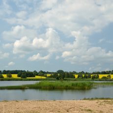
Raudna Nature Reserve
9.2 km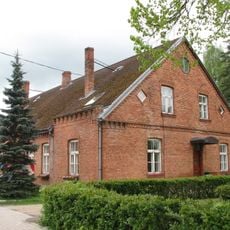
Kondas Centre
16.9 km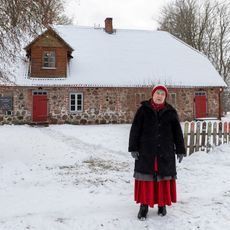
Heimtali volksmuseum
9.7 km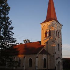
Kõpu Church
936 m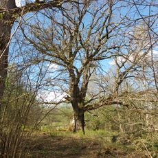
Upsi Oak
11.5 km
Iia ristimänd
8.7 km
Sinialliku hill fort
14.2 km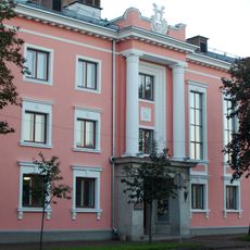
Viljandi Cultural Center
16.9 km
Viljandi Linnaraamatukogu
16.9 km
Lutsu 5
17 km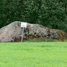
Sammuli rahn
16.1 km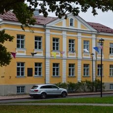
Viljandi Maakohtu hoone
17 km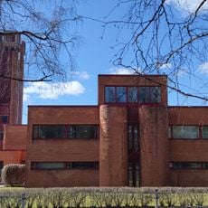
Viljandi tuletõrjedepoo
16 km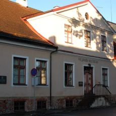
Building of Viljandi Museum
17 km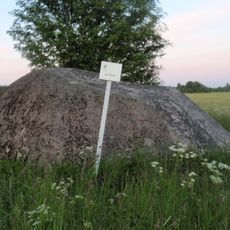
Laiakivi
3.4 km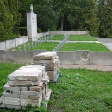
Viljandi Vabadussõjas langenute ühiskalmistu
16.3 km
Villa Gabler
16.8 km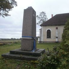
Kõpu Vabadussõja mälestussammas
905 m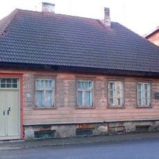
Lossi 11
17 km
Suure-Kõpu manor house
1.6 km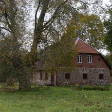
Heimtali village school building
9.7 kmReviews
Visited this place? Tap the stars to rate it and share your experience / photos with the community! Try now! You can cancel it anytime.
Discover hidden gems everywhere you go!
From secret cafés to breathtaking viewpoints, skip the crowded tourist spots and find places that match your style. Our app makes it easy with voice search, smart filtering, route optimization, and insider tips from travelers worldwide. Download now for the complete mobile experience.

A unique approach to discovering new places❞
— Le Figaro
All the places worth exploring❞
— France Info
A tailor-made excursion in just a few clicks❞
— 20 Minutes