
Lihnutsi kants, قلعة في إستونيا
Location: Lääneranna Rural Municipality
GPS coordinates: 58.69855,23.87417
Latest update: June 25, 2025 04:24

Matsalu National Park
17.4 km
Soontagana hill fort
17.2 km
Avaste Nature Reserve
17 km
Lihula Manor
2.1 km
Kasari old bridge
7.7 km
Vatla Manor
17.8 km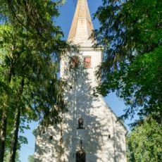
Mihkli Church
15.3 km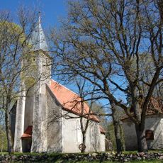
Karuse Church
12.7 km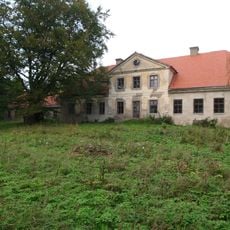
Matsalu Manor
11.2 km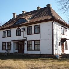
Karuse raudteejaam
13.5 km
Hanila Church
18.1 km
Lihula Church
2.3 km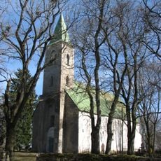
Kirbla Church
5.1 km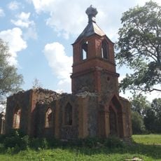
Kullamaa orthodox church
21.6 km
Karuse hill fort
14.5 km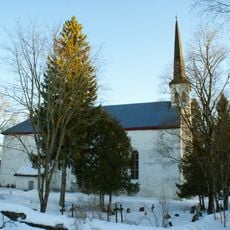
Martna Church
18.2 km
Nedrema Nature Reserve
19 km
Penijõe manor
4.3 km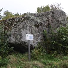
Jaagu-Mihkli kivi
14.7 km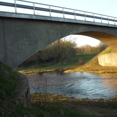
Rumba raudteesild
16.8 km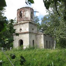
Kalli Orthodox Church
20.9 km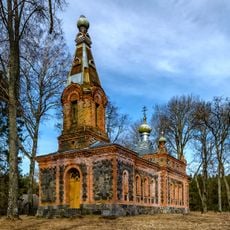
Paadrema Orthodox Church
18.4 km
Lihula Vabadussõja mälestussammas
2.8 km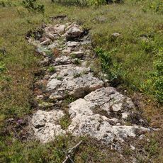
Pakamägi
15.8 km
Kõmsi Orthodox Church
16.5 km
Saastna päevamärk
19.5 km
Massu Manor Park
15.7 km
Salevere Salumägi Cliff
16.6 kmReviews
Visited this place? Tap the stars to rate it and share your experience / photos with the community! Try now! You can cancel it anytime.
Discover hidden gems everywhere you go!
From secret cafés to breathtaking viewpoints, skip the crowded tourist spots and find places that match your style. Our app makes it easy with voice search, smart filtering, route optimization, and insider tips from travelers worldwide. Download now for the complete mobile experience.

A unique approach to discovering new places❞
— Le Figaro
All the places worth exploring❞
— France Info
A tailor-made excursion in just a few clicks❞
— 20 Minutes