
Surju kalmistu, Friedhof in Estland
Location: Saarde Rural Municipality
GPS coordinates: 58.24164,24.69279
Latest update: September 25, 2025 07:39
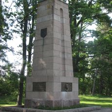
Konstantin Pätsi ausammas
11.2 km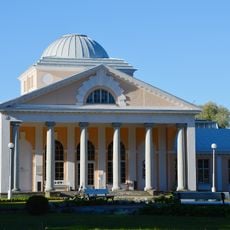
Pärnu Mud Baths
18.8 km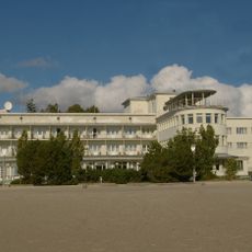
Rannahotell Pärnu
18.4 km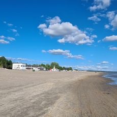
Pärnu Beach
18.7 km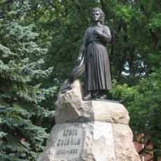
Lydia Koidula Monument
19.3 km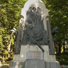
Monument to the War of Independence in Pärnu
17.5 km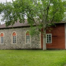
Uulu Church
8.5 km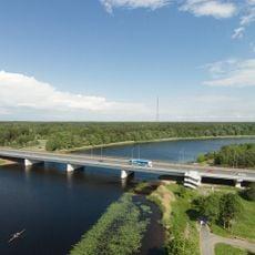
Papiniidu bridge
17.2 km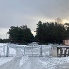
Raeküla
14.7 km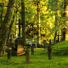
Alevi Cemetery
17.6 km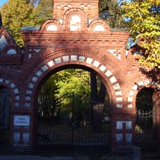
Eeslinn
18.6 km
Sindi raekoda
18.2 km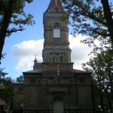
Pärnu Transformation of Our Lord Church
19.2 km
Building of Pärnu Gymnasium for Boys
19.2 km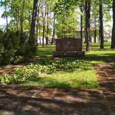
Vanapargi monument
19.2 km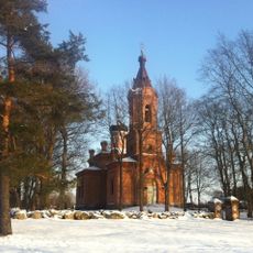
Tahkuranna orthodox church
12.2 km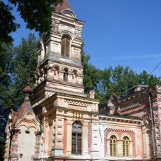
Sindi Orthodox Church
18.3 km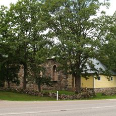
Tahkuranna Church
12.9 km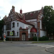
Pühavaimu 19
19.3 km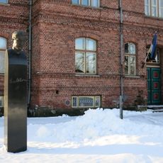
Paul Keres staty
19.2 km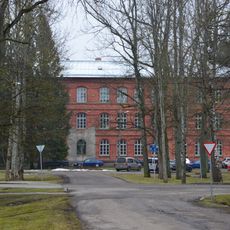
Kooli 9
18.5 km
Pärnu Immaanueli baptistikoguduse palvela
19.1 km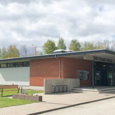
Sindi Library
18.8 km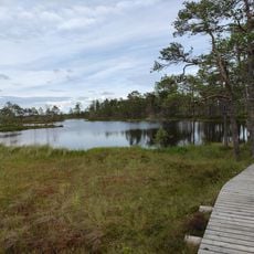
Rannametsa-Tolkuse nature trail
15.6 km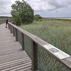
Pärnu Coastal Meadow Hiking Trail
18 km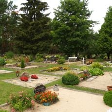
Võiste Cemetery
12.7 km
Station building of Sindi railway station
18 km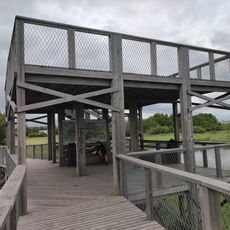
Viewing platform of Pärnu coastal meadow hiking trail
17.9 kmReviews
Visited this place? Tap the stars to rate it and share your experience / photos with the community! Try now! You can cancel it anytime.
Discover hidden gems everywhere you go!
From secret cafés to breathtaking viewpoints, skip the crowded tourist spots and find places that match your style. Our app makes it easy with voice search, smart filtering, route optimization, and insider tips from travelers worldwide. Download now for the complete mobile experience.

A unique approach to discovering new places❞
— Le Figaro
All the places worth exploring❞
— France Info
A tailor-made excursion in just a few clicks❞
— 20 Minutes