Amaya, human settlement
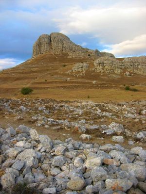
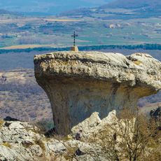
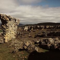
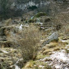
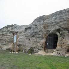
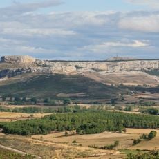
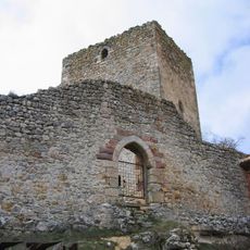
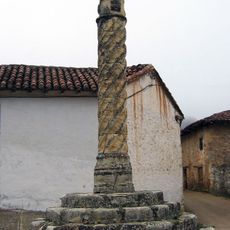
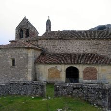
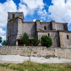
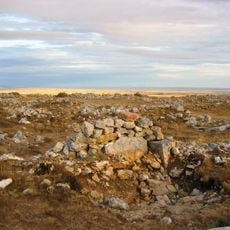
Location: Province of Burgos
Location: Sotresgudo
GPS coordinates: 42.64225,-4.16290
Latest update: June 6, 2025 23:33
Peña Amaya
2.6 km
Las Loras Geopark
1.6 km
Monastery of Santa María la Real, Mave
12.8 km
Las Tuerces
13.1 km
Pisoraca
14.6 km
Covalagua
13.9 km
Babia and Luna Natural Park
13.9 km
Rock carved hermitage of San Pelayo, Villacibio
11.4 km
La Ulaña
8.5 km
Ermita de San Cristóbal
7.5 km
Church of Saints Julian and Basilissa, Rebolledo de la Torre
7.4 km
Castle of Rebolledo de la Torre
7.4 km
Hermitage of Castarruyo, Sandoval de la Reina
12.5 km
Plaza de toros de Herrera de Pisuerga
14.5 km
Church of San Vicente, Barrio de la Puebla de San Vicente
13.3 km
Silo of Sotresgudo
7 km
Church of San Salvador
9.6 km
Barrio de San Pedro Pillory, Becerril del Carpio
14.2 km
Church of Saint Mary, Barrio de Santa María
13.7 km
Church of Saint Peter
10.3 km
Iglesia de la Asunción de Nuestra Señora, Peones de Amaya
1.9 km
Church of San Miguel Arcángel
7.2 km
Iglesia de Santa Ana, Herrera de Pisuerga
14.7 km
Granary of Sotresgudo
7.1 km
Despoblado de Peña Amaya
1.1 km
San Juan Bautista, Amaya
149 m
Church of San Esteban Protomártir, Arcellares
14.6 km
Church of San Vicente, Mundilla
13.1 kmReviews
Visited this place? Tap the stars to rate it and share your experience / photos with the community! Try now! You can cancel it anytime.
Discover hidden gems everywhere you go!
From secret cafés to breathtaking viewpoints, skip the crowded tourist spots and find places that match your style. Our app makes it easy with voice search, smart filtering, route optimization, and insider tips from travelers worldwide. Download now for the complete mobile experience.
A unique approach to discovering new places❞
— Le Figaro
All the places worth exploring❞
— France Info
A tailor-made excursion in just a few clicks❞
— 20 Minutes