
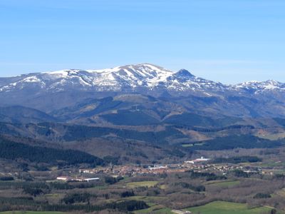
Otxandio, municipality of Spain
Location: Durangaldea
Elevation above the sea: 554 m
Part of: UEMA - Udalerri Euskaldunen Mankumunitatea
Shares border with: Abadiño, Aramaio, Legutio, Ubide, Dima
Website: http://otxandio.eus
GPS coordinates: 43.04111,-2.65333
Latest update: March 27, 2025 13:56
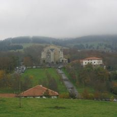
Urkiola Sanctuary
6.5 km
Saibi
6.5 km
Urkiolamendi
6.1 km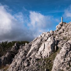
Orisol
4.6 km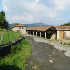
Etxaguen (elizate)
5.5 km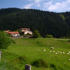
Ganzaga
6.2 km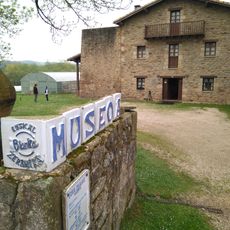
Museo de Alfarería Vasca
5.9 km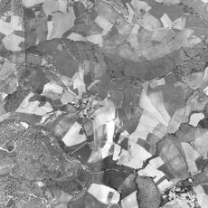
Arexola
5.9 km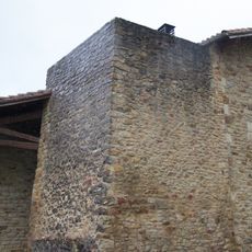
Horno De Ollerias
5.9 km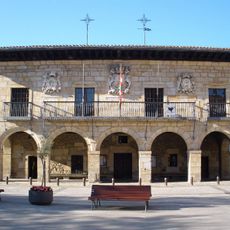
Town hall of Otxandio
182 m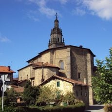
Iglesia De Santa Marina
160 m
Otxandioko Gaztetxea
34 m
Aretxaga txaleta
3.4 km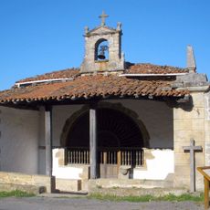
Hermitage of San Roque, Otxandio
591 m
Artekale 25 etxea, Otxandio
136 m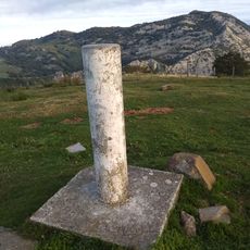
Saibi (cruz)
6.5 km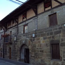
Urigoiena 8 etxea, Otxandio
153 m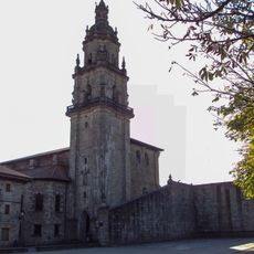
Otxandioko pilotalekua
183 m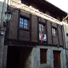
Artekale 15 etxea, Otxandio
131 m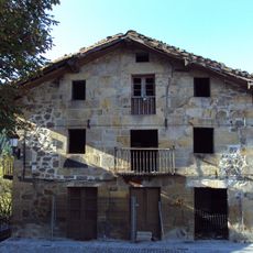
Nagusia Enparantza 12 etxea, Otxandio
200 m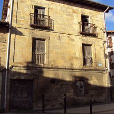
Uribarren 22 etxea, Otxandio
231 m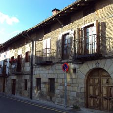
Uribarrena 24 etxea, Otxandio
239 m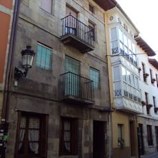
Artekale 12 etxea, Otxandio
109 m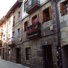
Beheko solairuko pasabide estalia Cantón 23-25 gisara, Otxandio
134 m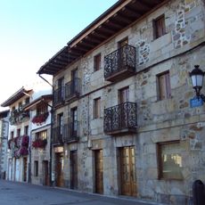
Nagusia Enparantza 11 etxea, Otxandio
137 m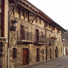
Urigoiena 10-12 etxea, Otxandio
157 m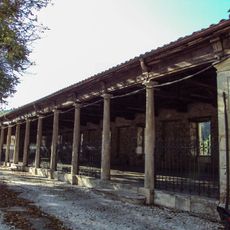
Pasalekua eta bolatokia
195 m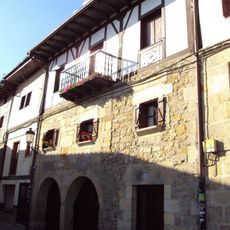
Artekale 35 etxea, Otxandio
150 mReviews
Visited this place? Tap the stars to rate it and share your experience / photos with the community! Try now! You can cancel it anytime.
Discover hidden gems everywhere you go!
From secret cafés to breathtaking viewpoints, skip the crowded tourist spots and find places that match your style. Our app makes it easy with voice search, smart filtering, route optimization, and insider tips from travelers worldwide. Download now for the complete mobile experience.

A unique approach to discovering new places❞
— Le Figaro
All the places worth exploring❞
— France Info
A tailor-made excursion in just a few clicks❞
— 20 Minutes