
Galdames, municipality of Spain
Location: Enkarterri
Elevation above the sea: 166 m
Part of: Enkarterriak / Las Encartaciones Association of Municipalities
Shares border with: Abanto y Ciérbana-Abanto Zierbena, Barakaldo, Sopuerta, Muskiz, Ortuella, Valle de Trápaga-Trapagaran, Güeñes, Zalla
Website: http://galdames.org
GPS coordinates: 43.26611,-3.09564
Latest update: March 5, 2025 05:06
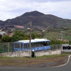
Larreinetako funikularra
5.2 km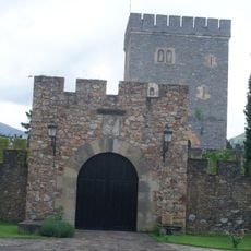
Castillo Concejuelo
3.2 km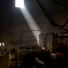
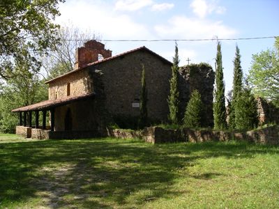
El Pobaleko burdinola
4.2 km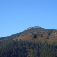
Eretza
5.2 km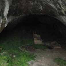
Cova Arenaza I
912 m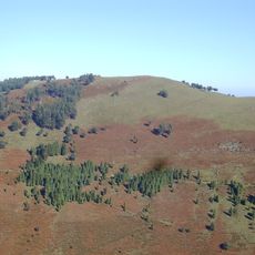
Ganeran
2.4 km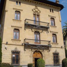
Palacio Olaso, Trapagaran
6.3 km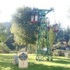
Ekoetxea Meatzaldea-Peñas Negras
2.5 km
Mendibil
4.9 km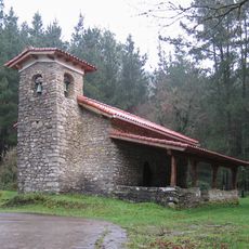
Hermitage of San Lorenzo, Güeñes
4.3 km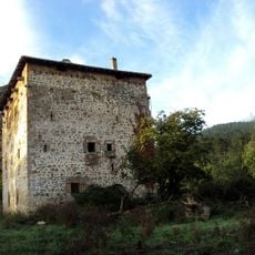
Torre De La Puente
4.9 km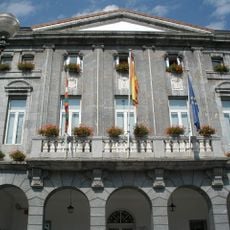
Town hall of Trapagaran
6.4 km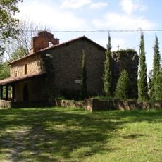
Ermita de Santiago
3.4 km
Meaztegi golf
3.7 km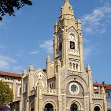
Church of the Transfiguración del Señor, Trapagaran
6.4 km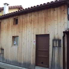
Generantzko 6 wooden house
3.9 km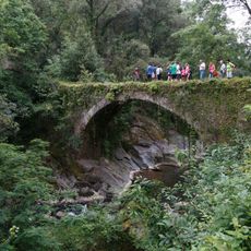
Puente De Olla
3.8 km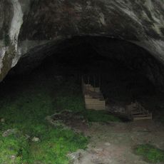
Arenaza cave
853 m
Andre Maria Magdalena Eliza, Trapagaran
3.8 km
Torre De Garay
4.8 km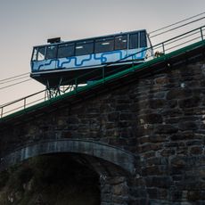
Zugaztietarako errepideko zubia
5.6 km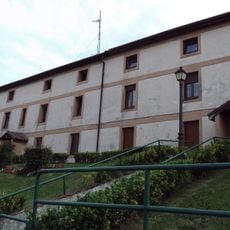
Pérez Galdos 18-24 etxea
3.8 km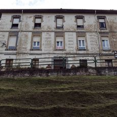
Antzinako kuartel-etxea
3.8 km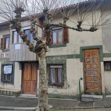
Casa Santa Maria Magdalena 1
4 km
Santa María Magdalena 5 etxea
3.9 km
Infraestructura Hidraulica De La Ferreria - Molino De Bilotxi
4.5 km
Puente El Pobal
4.4 km
Ferreria - Molino De Olla
3.8 kmReviews
Visited this place? Tap the stars to rate it and share your experience / photos with the community! Try now! You can cancel it anytime.
Discover hidden gems everywhere you go!
From secret cafés to breathtaking viewpoints, skip the crowded tourist spots and find places that match your style. Our app makes it easy with voice search, smart filtering, route optimization, and insider tips from travelers worldwide. Download now for the complete mobile experience.

A unique approach to discovering new places❞
— Le Figaro
All the places worth exploring❞
— France Info
A tailor-made excursion in just a few clicks❞
— 20 Minutes