
Aguarón, municipality of Spain
Location: Zaragoza Province
Capital city: Aguarón
Elevation above the sea: 649 m
Shares border with: Cariñena, Cosuenda, Encinacorba, Codos, Tobed
GPS coordinates: 41.33893,-1.26969
Latest update: March 7, 2025 01:40
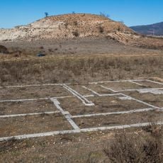
Segeda
21.1 km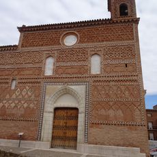
Iglesia de Santa María
10.9 km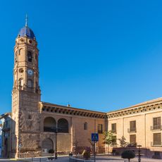
Condes de Argillo Palace
22.8 km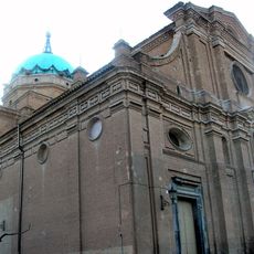
Church of Nuestra Señora de la Asunción, La Almunia de Doña Godina
17.7 km
Iglesia de Santa María
21.6 km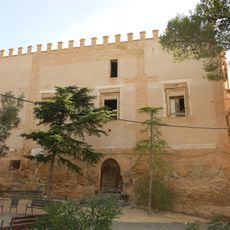
Castillo palacio de Calatorao
21.5 km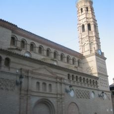
Church of Nuestra Señora de los Ángeles, Paniza
7.7 km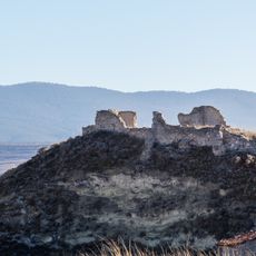
Castle of Belmonte de Gracián
22.7 km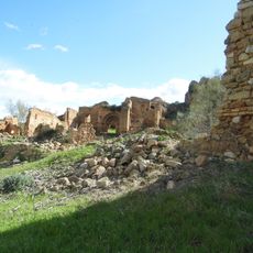
Castle of El Santo
15.1 km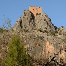
Castle of La Casaza
16.3 km
Bridge of Capurnos
23 km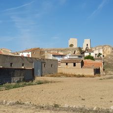
Castillo de Langa
17.7 km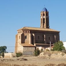
Iglesia de Santa Ana
16.6 km
Castle-palace of Belmonte de Gracian
22.5 km
Church of San Miguel Arcángel, Villarreal de Huerva
16.6 km
Tower of Ruesca
18.8 km
Tower of the hermitage of Our Lady of the Castle, Belmonte de Gracián
22.7 km
Town hall of Cariñena
3.8 km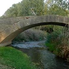
Puente de Almada
14.8 km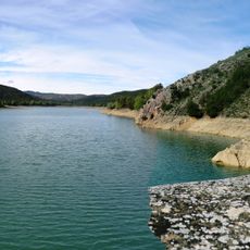
Las Torcas reservoir
15.8 km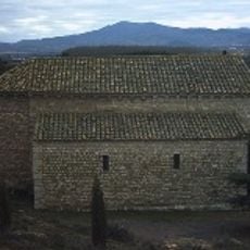
Church of Cabañas de Jalón
19.8 km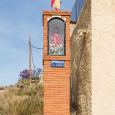
Peirón de San Sebastián
18.6 km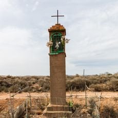
Peirón del Sagrado Corazón
16.6 km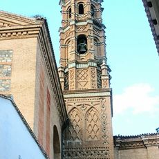
Tower of the church of Nuestra Señora de la Asunción, La Almunia de Doña Godina
17.7 km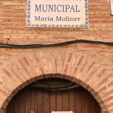
Biblioteca Pública Municipal de Paniza - María Moliner
7.7 km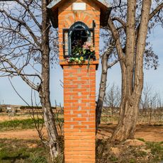
Peirón de la Virgen del Pilar
16.9 km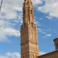
Torre de la Iglesia de la Asunción de Nuestra Señora
21.7 km
Valdemadera
6.3 kmReviews
Visited this place? Tap the stars to rate it and share your experience / photos with the community! Try now! You can cancel it anytime.
Discover hidden gems everywhere you go!
From secret cafés to breathtaking viewpoints, skip the crowded tourist spots and find places that match your style. Our app makes it easy with voice search, smart filtering, route optimization, and insider tips from travelers worldwide. Download now for the complete mobile experience.

A unique approach to discovering new places❞
— Le Figaro
All the places worth exploring❞
— France Info
A tailor-made excursion in just a few clicks❞
— 20 Minutes