
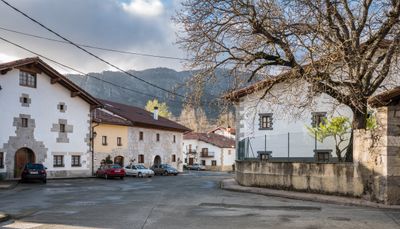
Irañeta, town and municipality in Navarre, Spain
Location: Navarre
Location: Merindade of Pamplona
Location: Sakana
Capital city: Irañeta
Elevation above the sea: 464 m
Part of: Mancomunitat de Sakana, Mancomunitat de Serveis Socials de Base de Irurtzun, Association d'Aralar, Basque-speaking zone of Navarre
Shares border with: Uharte Arakil, Arakil
GPS coordinates: 42.92293,-1.94525
Latest update: April 21, 2025 11:30
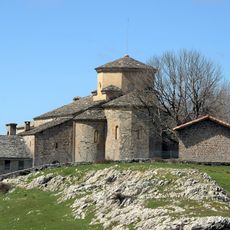
Sanctuaire of San Migel de Aralar, Uharte-Arakil
3.2 km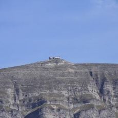
Beriain
4.8 km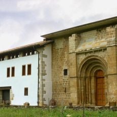
Zamarce
1.4 km
Churregui
8.6 km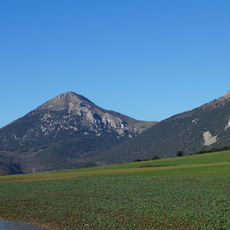
Gaztelu
9.5 km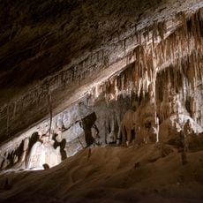
Mendukilo cave
6.2 km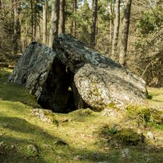
Albia trikuharria
6.1 km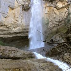
Artazul waterfall
10.9 km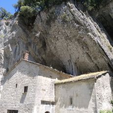
Oskia
10.7 km
San Donato baseliza
4.9 km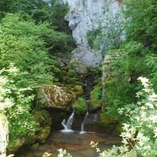
Iribasko iturburua
6.4 km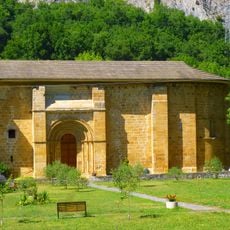
Monasterio de Zamarce
3.5 km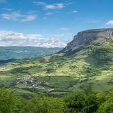
Ihurbain
5.4 km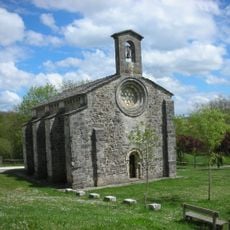
Church of Santiago de Itxasperri
7 km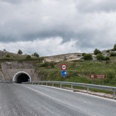
Lizarragako tunela
8.7 km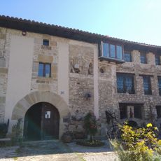
Ethnographic Museum of the Kingdom of Pamplona
9.2 km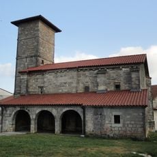
San Joan Bataiatzailearen eliza
8 km
Fantikorena
9.2 km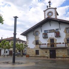
Town Hall of Arbizu
7.7 km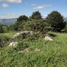
Poztan
7.1 km
Milaldapa
6.8 km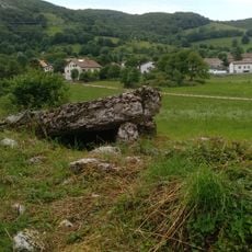
Pagamendi
6.6 km
Azolape
6.4 km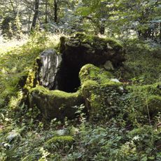
Ilunbetako arrate
4 km
Izeñiturri
4.1 km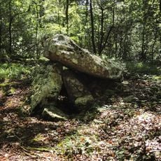
Seakoain 1 hego
3.7 km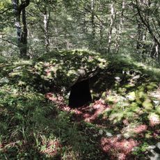
Ziñeko gurutze
4.1 km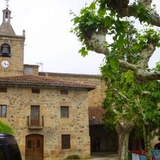
Church of Natividad de María, Arbizu
7.7 kmReviews
Visited this place? Tap the stars to rate it and share your experience / photos with the community! Try now! You can cancel it anytime.
Discover hidden gems everywhere you go!
From secret cafés to breathtaking viewpoints, skip the crowded tourist spots and find places that match your style. Our app makes it easy with voice search, smart filtering, route optimization, and insider tips from travelers worldwide. Download now for the complete mobile experience.

A unique approach to discovering new places❞
— Le Figaro
All the places worth exploring❞
— France Info
A tailor-made excursion in just a few clicks❞
— 20 Minutes