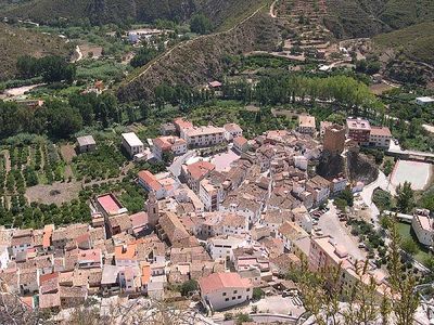
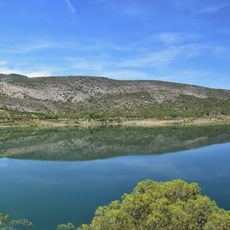
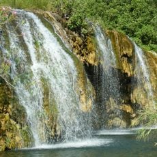
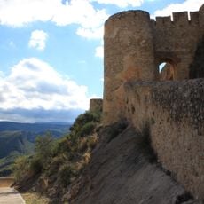
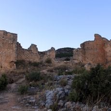
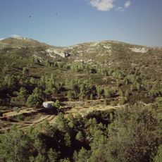
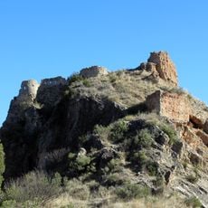
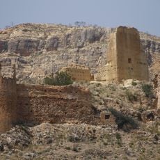
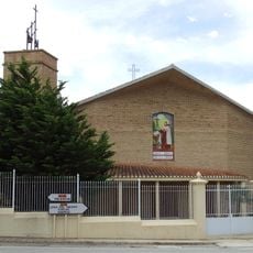
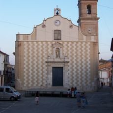
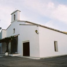
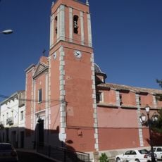
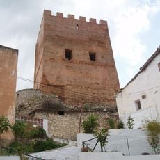
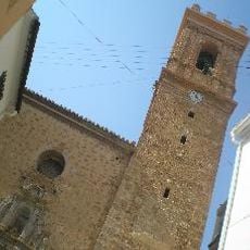
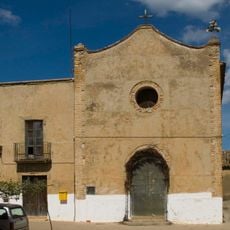
Sot de Chera, municipality of Spain
Location: Los Serranos
Capital city: Sot de Chera
Elevation above the sea: 240 m
Shares border with: Chera, Loriguilla
Website: http://sotdechera.es
GPS coordinates: 39.62118,-0.91002
Latest update: March 6, 2025 12:46
Loriguilla Reservoir
5.7 km
Chera-Sot de Chera Natural Park
5.4 km
Embalse de Buseo
4.2 km
Chulilla Castle
4.1 km
Castillo de Chera
7.7 km
Paraje Natural Municipal Sierra de Chiva
16.6 km
Castillo de Sot de Chera
103 m
Castle of Domeño
10.3 km
Castell de Xestalgar
6.8 km
Church of San Sebastián
27 m
Almazara del Conde
30 m
Chapel of Saint Roch
580 m
Torre de telegrafía óptica de El Rebollar
17.2 km
Chulilla Church of Our Lady of the Angels
4.1 km
Monasterio de San Juan de la Cruz, Villar del Arzobispo
13.9 km
Church of Saint John the Baptist
16.7 km
Agencia de Lectura Municipal de Siete Aguas
16.7 km
Hermitage of Santa Bárbara, Chulilla
3.6 km
Presa de Buseo
3.8 km
Church of Saint Sebastian
8.9 km
Ceramic panel of Saint isidore the Laborer
16.6 km
Chapel of Saint Vincent Ferrer
13.9 km
Church of Saint John the Baptist, Bugarra
11.7 km
Ermita de la Virgen de los Dolores
8.5 km
Castell de Sot de Xera
39 m
Church of the Immaculate (Calles, Spain)
12.8 km
Ermita nueva de la Misericordia de Villar de Tejas
15.4 km
Ceramic panel of Saint Roch at Iglesia street
14.1 kmReviews
Visited this place? Tap the stars to rate it and share your experience / photos with the community! Try now! You can cancel it anytime.
Discover hidden gems everywhere you go!
From secret cafés to breathtaking viewpoints, skip the crowded tourist spots and find places that match your style. Our app makes it easy with voice search, smart filtering, route optimization, and insider tips from travelers worldwide. Download now for the complete mobile experience.
A unique approach to discovering new places❞
— Le Figaro
All the places worth exploring❞
— France Info
A tailor-made excursion in just a few clicks❞
— 20 Minutes