
A Peroxa, municipality of Spain
Location: Ourense
Capital city: A Peroxa
Elevation above the sea: 511 m
Part of: Mancomunitat Intermunicipal Voluntaria de «Santa Águeda»
Shares border with: Carballedo, Pantón, Nogueira de Ramuín, O Pereiro de Aguiar, Coles, Vilamarín
Website: http://aperoxa.es
GPS coordinates: 42.43889,-7.79333
Latest update: March 3, 2025 21:08
Monastery of Santo Estevo de Ribas de Sil
77 km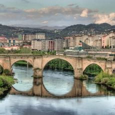
Ponte Vella
12.2 km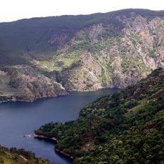
Os Peares reservoir
6.4 km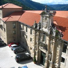
Santo Estevo's Hostel
9.2 km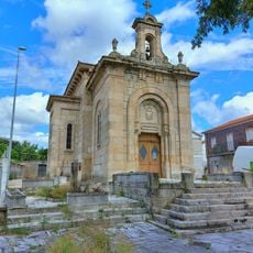
Iglesia de San Lázaro
11 km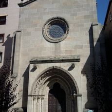
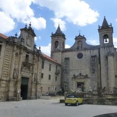
Church of San Francisco, Ourense
12.2 km
Church of Santa Teresita, Ourense
11.1 km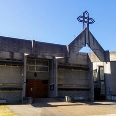
Church of Cristo Rey, Ourense
11.5 km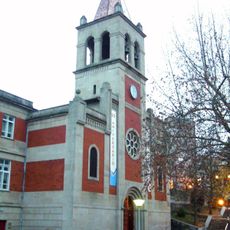
Church of María Auxiliadora, Ourense
12.2 km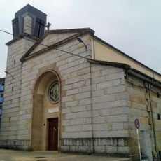
Church of Nosa Señora da Asunción, Ourense
11.5 km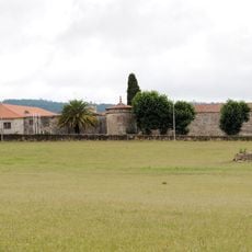
Pazo de Fontefiz
3.6 km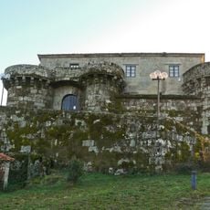
Castillo de Villamarín
8.9 km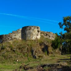
Castle of A Peroxa
733 m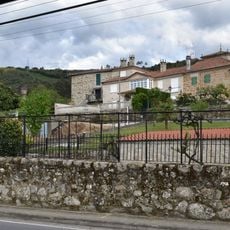
Pazo de Velle
9.4 km
Parroquia de Santa Ana de El Pino
12 km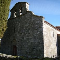
Church of San Fiz de Cangas
13.6 km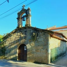
Capilla de San Roque
10.9 km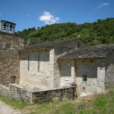
Mosteiro de Santo Estevo de Atán
10.1 km
Tower of Quitapesares
9.4 km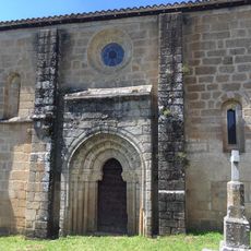
Monastery of San Vicenzo de Pombeiro
7.5 km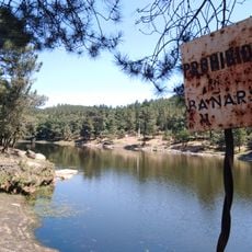
Embalse de Cachamuíña
11.7 km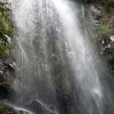
Fervenza de Augacaída
10.9 km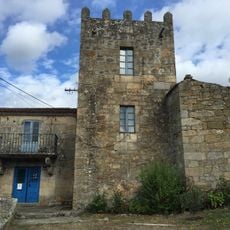
Torre de Lamela
11.4 km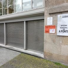
Biblioteca Pública Municipal de A Ponte
11.9 km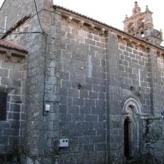
Church of Santa Baia de Beiro
10.9 km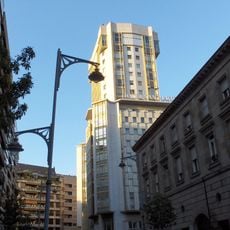
A Torre Building
12 km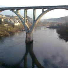
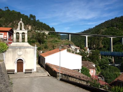
Ourense Viaduct
11.6 km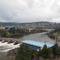
Velle Reservoir
9.6 kmReviews
Visited this place? Tap the stars to rate it and share your experience / photos with the community! Try now! You can cancel it anytime.
Discover hidden gems everywhere you go!
From secret cafés to breathtaking viewpoints, skip the crowded tourist spots and find places that match your style. Our app makes it easy with voice search, smart filtering, route optimization, and insider tips from travelers worldwide. Download now for the complete mobile experience.

A unique approach to discovering new places❞
— Le Figaro
All the places worth exploring❞
— France Info
A tailor-made excursion in just a few clicks❞
— 20 Minutes