Galapagar

Log in to your account

AroundUs is a community-driven map of interesting places, built by curious explorers like you. It grows with every review, story, and photo you share.
Connect to save your favorite spots, contribute locations, and create personalized routes.
By continuing, you accept our Terms and Conditions and our Privacy Policy
Add to collection
Map
Suggest a change
Share

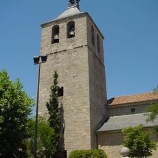
Galapagar, Administrative division in Madrid region, Spain

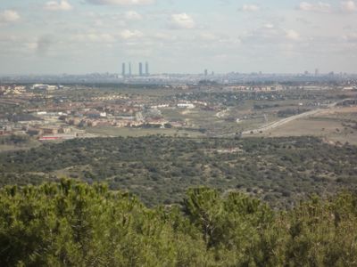
Galapagar is a municipality in Madrid's autonomous community, located approximately 31 km northwest of the capital in a hilly terrain. The area sprawls across 65 square kilometers at an elevation of around 884 meters.

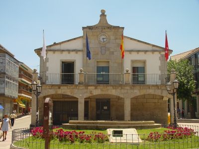
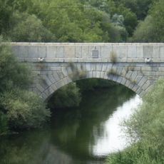
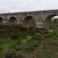
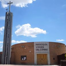
The settlement originated in the 11th century and grew into an important waypoint along the route connecting Madrid with the Royal Monastery of San Lorenzo de El Escorial. This role as a link between two significant places shaped its development.

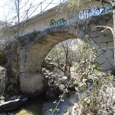
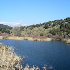
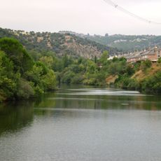
The name comes from the Spanish word 'galapago,' meaning turtle, a reference to the creatures that once lived in the local water systems. This naming heritage reflects how closely the community was tied to its natural surroundings.

The Galapagar-La Navata train station provides connections to Madrid through three commuter rail lines, making arrival straightforward. Most visitors find it easiest to start their exploration from the station, where local transportation options are clearly marked.

Spanish dramatist Jacinto Benavente, who won the Nobel Prize, chose this place as his final resting place. His connection to the community attracts visitors interested in literature and cultural history.

Location: Community of Madrid

Capital city: Galapagar

Elevation above the sea: 890 m

Part of: Mancomunidade de Concellos da Serra de Guadarrama, Mancomunidad del Noroeste para la gestión y tratamiento de los residuos urbanos

Shares border with: Las Rozas de Madrid, Villanueva del Pardillo, Colmenarejo, El Escorial, San Lorenzo de El Escorial, Guadarrama, Collado Villalba, Moralzarzal, Hoyo de Manzanares, Torrelodones

Website: http://galapagar.es

GPS coordinates: 40.57639,-4.00194

Latest update: December 17, 2025 07:42

Photos
Reviews

Visited this place? Tap the stars to rate it and share your experience / photos with the community! Try now! You can cancel it anytime.

« Galapagar - Administrative division in Madrid region, Spain » is provided by Around Us (aroundus.com). Images and texts are derived from Wikimedia project under a Creative Commons license. You are allowed to copy, distribute, and modify copies of this page, under the conditions set by the license, as long as this note is clearly visible.

Discover hidden gems everywhere you go!

From secret cafés to breathtaking viewpoints, skip the crowded tourist spots and find places that match your style. Our app makes it easy with voice search, smart filtering, route optimization, and insider tips from travelers worldwide. Download now for the complete mobile experience.

Around Us App Screenshot

A unique approach to discovering new places

Le Figaro

All the places worth exploring

France Info

A tailor-made excursion in just a few clicks

20 Minutes