
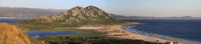
Monte Louro, Louro, Muros, human settlement in Muros, A Coruña, Muros, A Coruña Province, Spain
Location: Louro, Muros
Elevation above the sea: 241 m
GPS coordinates: 42.74280,-9.08222
Latest update: April 21, 2025 08:24
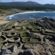
Castro of Baroña
6.8 km
Praia de Godai
1.4 km
Laxe das Rodas
2.9 km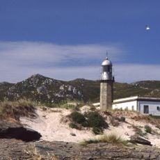
Faro de Punta Insua
4.8 km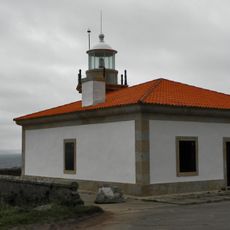
Beacon of Monte Louro
490 m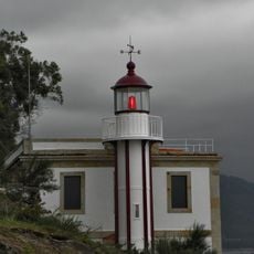
Beacon of Rebordiño
4.1 km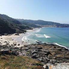
Praia de Fonforrón
6.6 km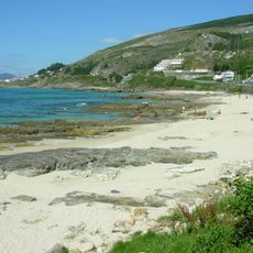
Beach of Arnela
6.8 km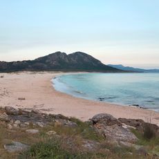
Area Maior
1.7 km
Praia de Lariño
3.8 km
Praia do Ancoradoiro
2.8 km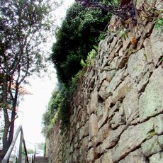
City walls of Muros
4 km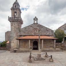
Church of San Pedro de Muros
4 km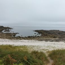
Susiños
6.5 km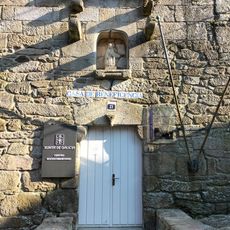
Biblioteca del Centro Social de Muros
4 km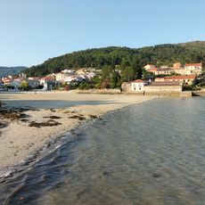
Praia da Rocha
5.3 km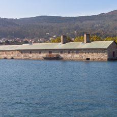
O Pozo do Cachón tide mill
5.2 km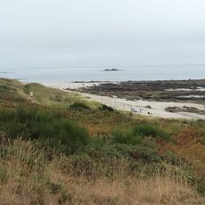
Sureseco
5.6 km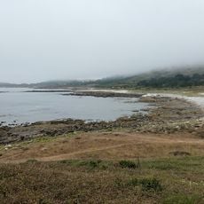
Porto dos Botes
4.9 km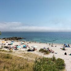
San Francisco
2 km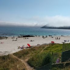
A Bouga
2.4 km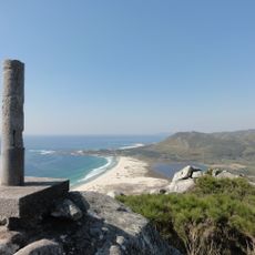
Monte Louro
281 m
Ancoradoiro
2.8 km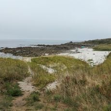
Ardeleiro
6.9 km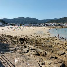
La Prudencia
4.2 km
Fogareiro
1.2 km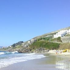
Arnela
6.8 km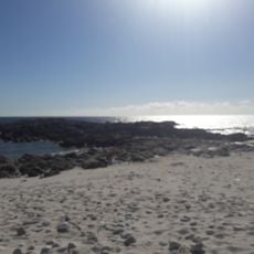
Praia dos Susiños
6.5 kmVisited this place? Tap the stars to rate it and share your experience / photos with the community! Try now! You can cancel it anytime.
Discover hidden gems everywhere you go!
From secret cafés to breathtaking viewpoints, skip the crowded tourist spots and find places that match your style. Our app makes it easy with voice search, smart filtering, route optimization, and insider tips from travelers worldwide. Download now for the complete mobile experience.

A unique approach to discovering new places❞
— Le Figaro
All the places worth exploring❞
— France Info
A tailor-made excursion in just a few clicks❞
— 20 Minutes