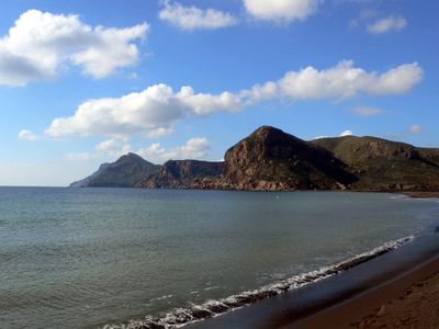
Sierra minera de Cartagena-La Unión, Mountain range and mining site in Murcia, Spain
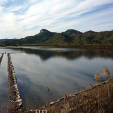
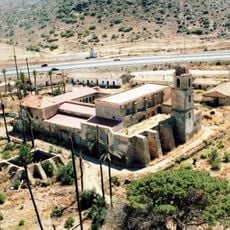
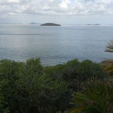
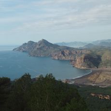
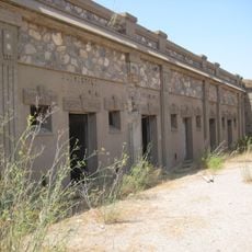
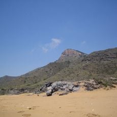
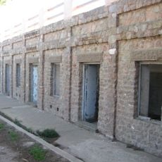
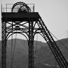
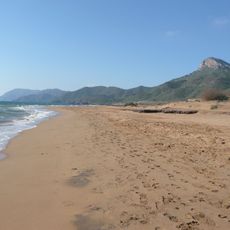
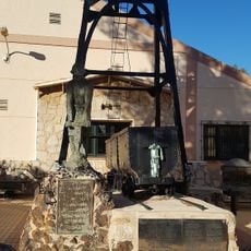
The Sierra minera de Cartagena-La Unión is a mountain range along the Mediterranean coast between Cartagena and Cape Palos with extensive mining infrastructure scattered across its slopes. The landscape contains thousands of extraction shafts, processing structures, and old transport routes representing different historical periods of operation.
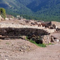
Phoenicians started mining minerals here in the 7th century BC, and Carthaginians and Romans later expanded operations to extract silver and lead on a large scale. Extraction activities continued for centuries, leaving deep marks on the landscape and shaping the region's story.
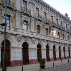
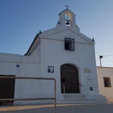
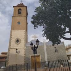
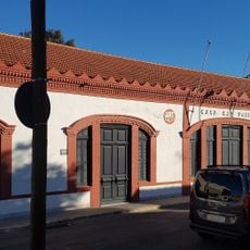
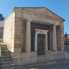
Mining shaped how people lived here, influencing local building styles, work traditions, and community structures that visitors can still see today. The towns grew around the mines, with extraction work becoming central to how families organized their lives and connected with each other.
Access to the mining areas is through organized tours departing from Cartagena or La Unión, where guides explain the geological and industrial sides of the operations. Wear comfortable shoes since the terrain is uneven and the visits involve walking at different elevations across the slopes.
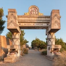
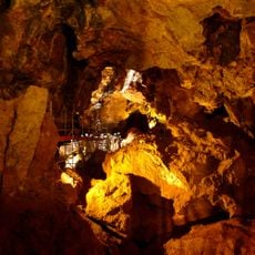
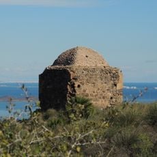
The mountain range holds over 1,000 mining structures from different historical periods, showing how extraction methods changed and improved over time. These abandoned shafts and facilities form a kind of open-air museum where visitors can see the evolution of mining techniques across centuries.
The community of curious travelers
AroundUs brings together thousands of curated places, local tips, and hidden gems, enriched daily by 60,000 contributors worldwide.