
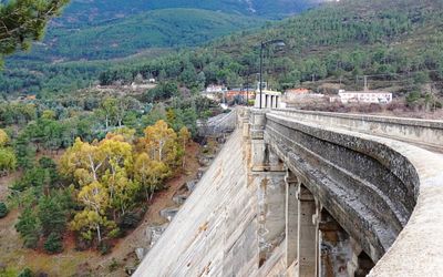
El Burguillo dam, presa de gravedad en la provincia de Ávila
Location: El Tiemblo
Elevation above the sea: 730 m
Height: 91 m
GPS coordinates: 40.42472,-4.53371
Latest update: March 6, 2025 12:16
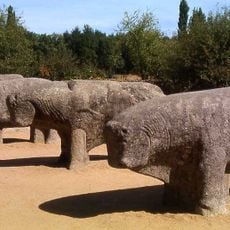
Bulls of Guisando
10.6 km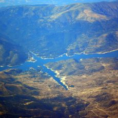
El Burguillo Reservoir
3.7 km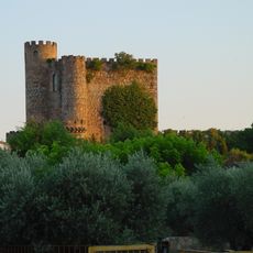
Castle of San Martín de Valdeiglesias
13.2 km
Natural reserve Valle de Iruelas
5.4 km
Monastery of San Jerónimo de Guisando
9.6 km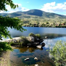
Charco del Cura Reservoir
2.1 km
Cerro de Guisando
9.2 km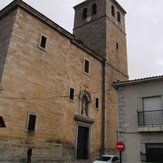
Church of Santiago, Cebreros
6.8 km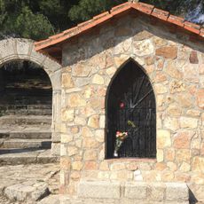
Ermita de Valsordo
5.8 km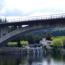
Burguillo Reservoir Arch Bridge
606 m
Convento del Dulce Nombre de Jesús
6.6 km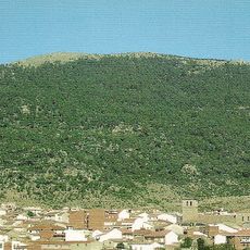
La Cebrera
11.8 km
Monasterio de San Jerónimo de Guisando
9.5 km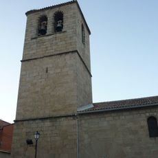
Iglesia de Nuestra Señora de la Asunción, El Tiemblo
3 km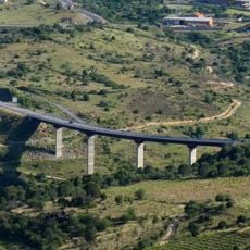
Puente de la N-403 sobre el Alberche, El Tiemblo
3.2 km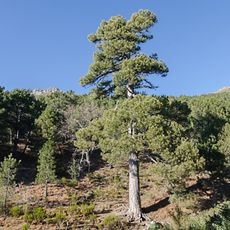
Black pine "Aprisquillo" in La Adrada
11.7 km
Iglesia Vieja de Santiago
6.8 km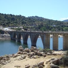
Puente de la N-403 sobre el Embalse del Burguillo
3.2 km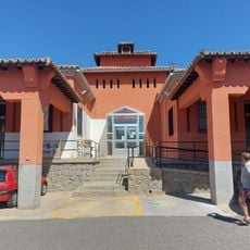
Biblioteca Pública Municipal de El Tiemblo
3 km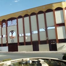
San Martín de Valdeiglesias bullring
13.2 km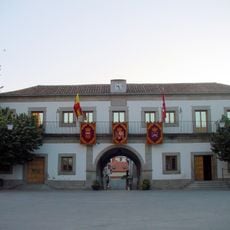
Town Hall of San Martín de Valdeiglesias
13.5 km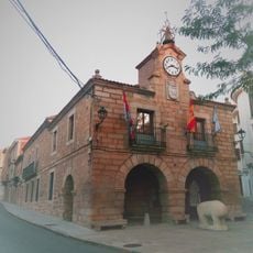
Town Hall of El Barraco
11 km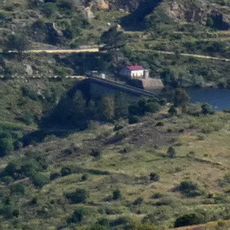
Charco del Cura dam
2.6 km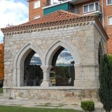
Ermita del Ecce Homo, San Martín de Valdeiglesias
13.1 km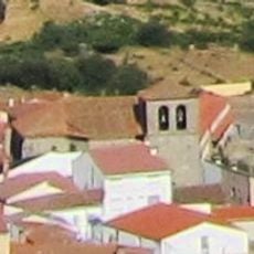
Iglesia de San Bartolomé, San Bartolomé de Pinares
13.2 km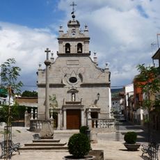
Ermita de San Antonio de Padua, El Tiemblo
2.7 km
Casillas
9.1 km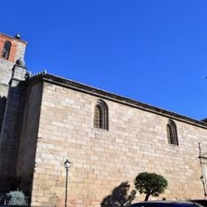
Church of San Miguel, El Hoyo de Pinares
12.8 kmVisited this place? Tap the stars to rate it and share your experience / photos with the community! Try now! You can cancel it anytime.
Discover hidden gems everywhere you go!
From secret cafés to breathtaking viewpoints, skip the crowded tourist spots and find places that match your style. Our app makes it easy with voice search, smart filtering, route optimization, and insider tips from travelers worldwide. Download now for the complete mobile experience.

A unique approach to discovering new places❞
— Le Figaro
All the places worth exploring❞
— France Info
A tailor-made excursion in just a few clicks❞
— 20 Minutes