
Porpallers, mountain in Spain
Location: L'Argentera
Elevation above the sea: 622.1 m
GPS coordinates: 41.11320,0.90155
Latest update: March 11, 2025 14:03
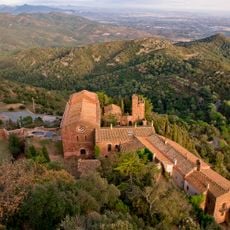
Castell d'Escornalbou
2 km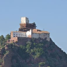
Mare de Déu de la Roca de Mont-roig
3.7 km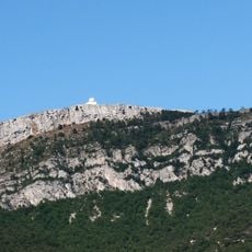
La Miranda
4 km
Castell de la Mola
2.4 km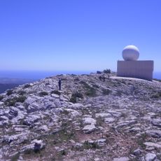
Radar de Tivissa-Llaberia
4 km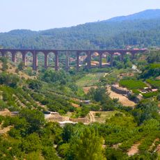
Viaductes del tren
4.5 km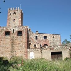
Mas Munter
4.4 km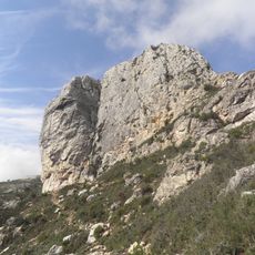
Cavall Bernat de Llabería
3.9 km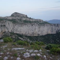
Mont-redon
4.6 km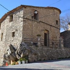
Centre històric de Colldejou
1.9 km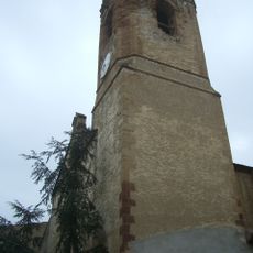
Santa Maria de Duesaigües
4.4 km
Cal Peyrí
3 km
Torre de la Torre de Fontaubella
3.4 km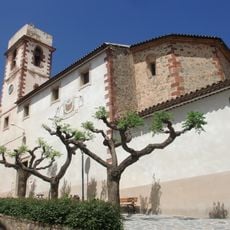
Sant Joan Baptista de Vilanova d'Escornalbou
3 km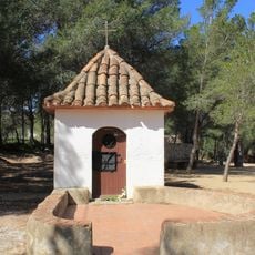
Mare de Déu del Peiró
4.6 km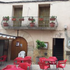
El Cafè
3.4 km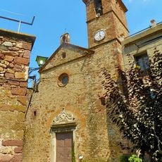
Sant Bartomeu de l'Argentera
2.8 km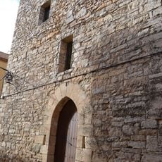
House in Carrer de Baix, 12
2 km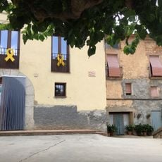
L'Hogar
3.4 km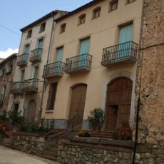
Ca la Coixa
3.4 km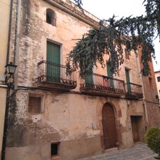
Casa davant de l'església
4.4 km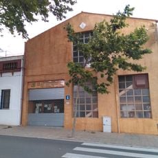
Antiga Cooperativa de Vilanova d'Escornalbou
3.2 km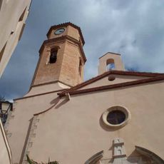
Santa Maria de la Torre de Fontaubella
3.4 km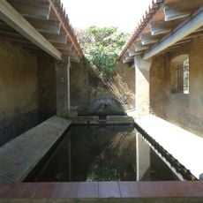
Rentador de Duesaigües
4 km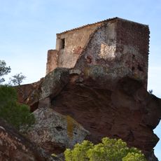
Sant Ramon de Mont-roig del Camp
3.7 km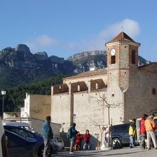
Sant Llorenç de Colldejou
1.9 km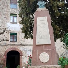
Monument a Eduard Toda a l'Argentera
2.8 km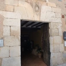
Cal Peyrí Tower
3 kmReviews
Visited this place? Tap the stars to rate it and share your experience / photos with the community! Try now! You can cancel it anytime.
Discover hidden gems everywhere you go!
From secret cafés to breathtaking viewpoints, skip the crowded tourist spots and find places that match your style. Our app makes it easy with voice search, smart filtering, route optimization, and insider tips from travelers worldwide. Download now for the complete mobile experience.

A unique approach to discovering new places❞
— Le Figaro
All the places worth exploring❞
— France Info
A tailor-made excursion in just a few clicks❞
— 20 Minutes