
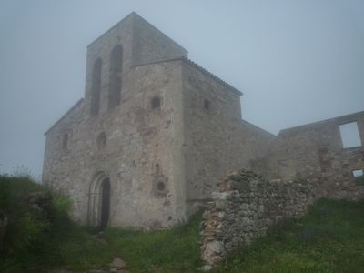
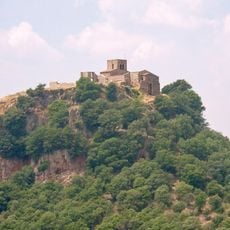
Santa Maria de Tagamanent, church building in Tagamanent, Spain
Location: Tagamanent
Elevation above the sea: 1,056 m
GPS coordinates: 41.74747,2.29608
Latest update: April 1, 2025 08:54
Tagamanent
27 m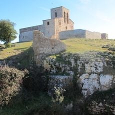
Castell de Tagamanent
13 m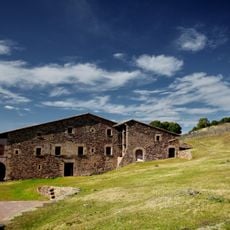
L'Agustí
887 m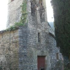
Sant Pere de Vallcàrquera
2.5 km
Rectoria de Vallcàrquera
2.4 km
Can Pere Moliner
2.4 km
Can Pere Torn del Serrat
2.4 km
Cal Petit (Tagamanent)
2 km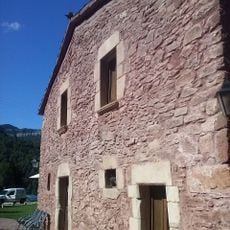
Cal Músic
2.4 km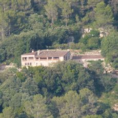
Castellseguer
2 km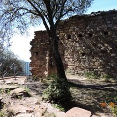
Sant Martí de Tagamanent
206 m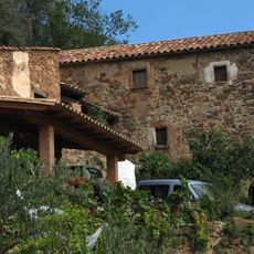
Can Puig (Figaró-Montmany)
2.2 km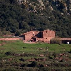
Can Bellver
600 m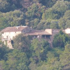
Vilardebò
1.4 km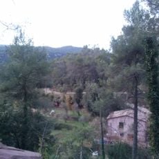
Cal Xesc
2.4 km
Can Pere Jan
2.4 km
Cal Frare del Serrat
2.4 km
Parc Etnològic de Tagamanent (Cal l'Agustí)
894 m
Turó del Pla dels Emprius
2.2 km
La Vila
1.7 km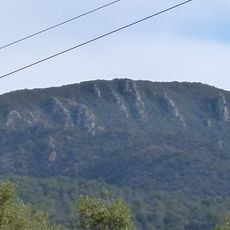
El Parany
1.5 km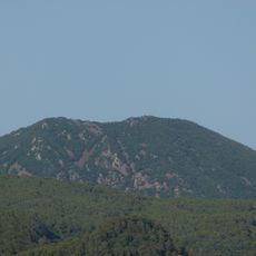
Turó Monner
1.9 km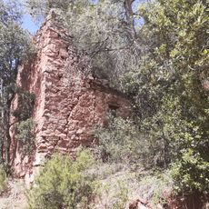
El Solà
815 m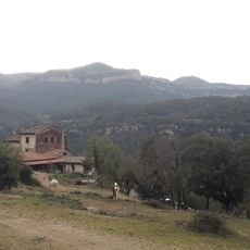
El Folló
2.2 km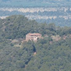
Can Coll
974 m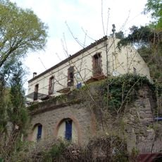
Vall-de-roses
2.5 km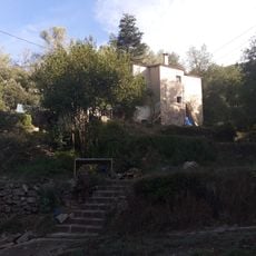
Can Mestres
2.4 km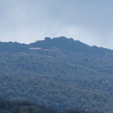
El Bellit
2.1 kmVisited this place? Tap the stars to rate it and share your experience / photos with the community! Try now! You can cancel it anytime.
Discover hidden gems everywhere you go!
From secret cafés to breathtaking viewpoints, skip the crowded tourist spots and find places that match your style. Our app makes it easy with voice search, smart filtering, route optimization, and insider tips from travelers worldwide. Download now for the complete mobile experience.

A unique approach to discovering new places❞
— Le Figaro
All the places worth exploring❞
— France Info
A tailor-made excursion in just a few clicks❞
— 20 Minutes