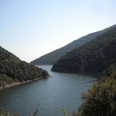
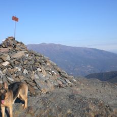
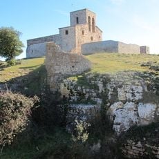
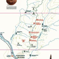
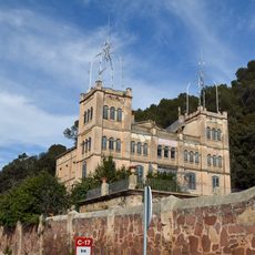
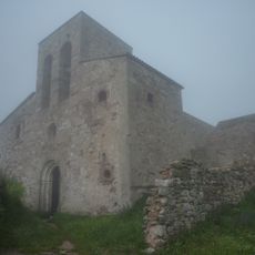
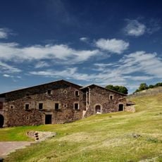
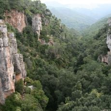
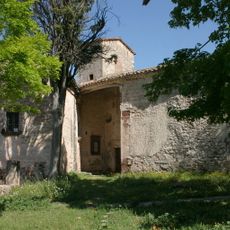
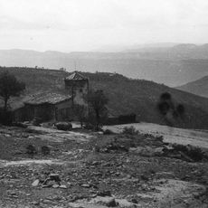
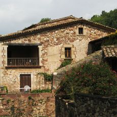
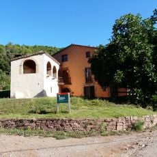
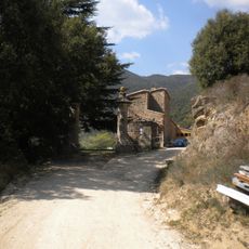
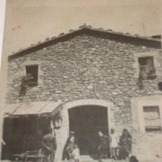
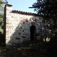
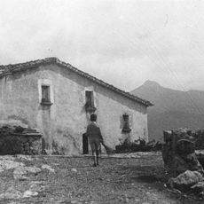
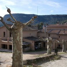
Tagamanent, village of Catalonia, Spain
Location: Vallès Oriental
Capital city: Tagamanent
Elevation above the sea: 354 m
Shares border with: El Brull, Montseny, Cànoves i Samalús, Figaró-Montmany, Sant Martí de Centelles, Aiguafreda
Website: https://tagamanent.cat
GPS coordinates: 41.73866,2.26781
Latest update: March 3, 2025 03:34
Castanyer de Can Cuc
6.6 km
Tagamanent
2.5 km
Pantà de Vallfornès
6.5 km
El Sui
6.6 km
Castell de Tagamanent
2.6 km
Castell de Montmany
2.4 km
Sant Salvador de Terrades
7.2 km
Dòlmens de la Serra de l'Arca
4.7 km
Pereres del Pla
1.1 km
Santa Maria de Tagamanent
2.5 km
L'Agustí
3.4 km
Sot del Bac
1.4 km
Sant Martí del Congost
5.6 km
Sant Pere de Vallcàrquera
2.3 km
Sant Cebrià de la Móra
6.5 km
L'Aragall
3.8 km
Dolmen de Can Serra de l’Arca
5.3 km
Rectoria de Vallcàrquera
2.6 km
Pous de glaç de l'Avencó
3 km
Can Pere Moliner
476 m
Can serra de l'Arca
4.1 km
Vallfornès
5.3 km
Balma de Can Serra
4 km
La Casa Nova de can Pere Torn
597 m
Sant Miquel de Canyelles
5.5 km
Casanoves (Aiguafreda)
4.2 km
Sant Salvador de l'Avencó
3.1 km
La Llobeta
4.5 kmReviews
Visited this place? Tap the stars to rate it and share your experience / photos with the community! Try now! You can cancel it anytime.
Discover hidden gems everywhere you go!
From secret cafés to breathtaking viewpoints, skip the crowded tourist spots and find places that match your style. Our app makes it easy with voice search, smart filtering, route optimization, and insider tips from travelers worldwide. Download now for the complete mobile experience.
A unique approach to discovering new places❞
— Le Figaro
All the places worth exploring❞
— France Info
A tailor-made excursion in just a few clicks❞
— 20 Minutes