
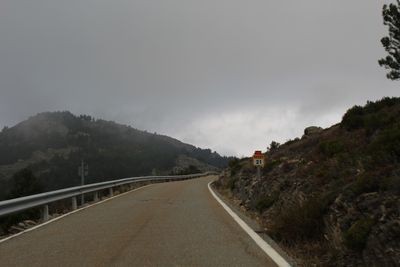
M-137, highway in Madrid, Spain
Location: Community of Madrid
GPS coordinates: 41.05018,-3.53751
Latest update: September 23, 2025 12:57
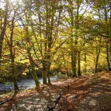
Hayedo de Montejo
7.1 km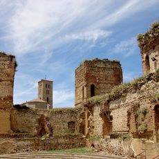
Castle of Buitrago del Lozoya
10.2 km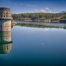
El Villar Reservoir
11.3 km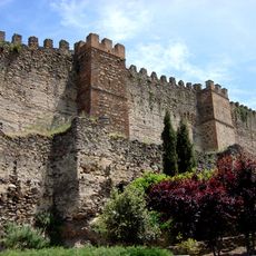
Buitrago del Lozoya Wall
10.1 km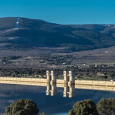
Riosequillo Reservoir
13.1 km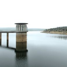
Puentes Viejas Reservoir
7.5 km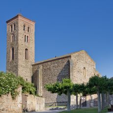
Church of Santa María del Castillo, Buitrago del Lozoya
10.3 km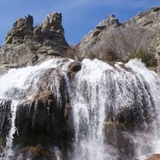
Chorrera de los Litueros
11.1 km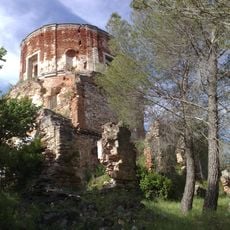
Casa del Bosque, Buitrago del Lozoya
9.2 km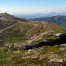
Cerrón
12.7 km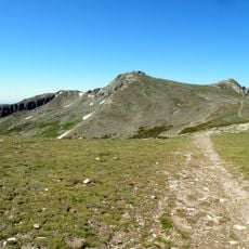
Macizo del Pico del Lobo-Cebollera
13.3 km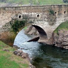
Puente del Arrabal
10.2 km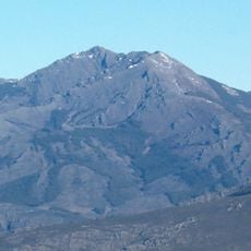
Peña de La Cabra
6.4 km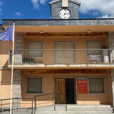
Museum Picasso Eugenio Arias' Collection
10.4 km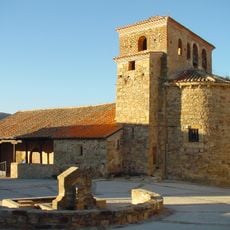
Church of Santo Domingo de Silos
768 m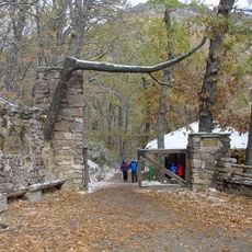
Centro de educación ambiental Hayedo de Montejo
6.4 km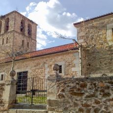
Church of San Vicente Mártir
8.9 km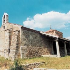
Ermita de la Virgen del Buen Suceso
7.8 km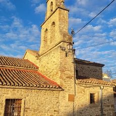
Centro De Interpretacion Frente Del Agua
5.4 km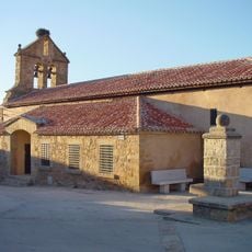
Church of Santa Ana
3.8 km
Remains of the Hospital of San Salvador
10.1 km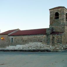
Church of San Simón Apóstol
5.5 km
Satellite communications station of Buitrago del Lozoya
7.9 km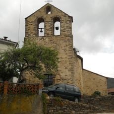
Church of Santiago Apóstol
8 km
El Peral de La Hiruela
7.4 km
Church of Santo Tomás
9.5 km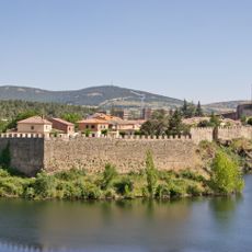
Casco antiguo de la villa de Buitrago del Lozoya
10.2 km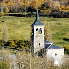
Iglesia de Nuestra Señora de las Nieves, Somosierra
9.9 kmReviews
Visited this place? Tap the stars to rate it and share your experience / photos with the community! Try now! You can cancel it anytime.
Discover hidden gems everywhere you go!
From secret cafés to breathtaking viewpoints, skip the crowded tourist spots and find places that match your style. Our app makes it easy with voice search, smart filtering, route optimization, and insider tips from travelers worldwide. Download now for the complete mobile experience.

A unique approach to discovering new places❞
— Le Figaro
All the places worth exploring❞
— France Info
A tailor-made excursion in just a few clicks❞
— 20 Minutes