
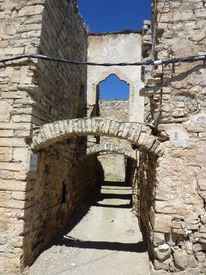
Carrer Balaguer, gebouw in Les Oluges, Spanje
Location: Les Oluges
Inception: 16 century
Architectural style: vernacular architecture
Elevation above the sea: 568 m
GPS coordinates: 41.69747,1.32123
Latest update: September 22, 2025 09:43

Montfalcó Murallat
1.8 km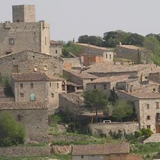
Malgrat
2.2 km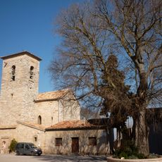
Castellnou d'Oluges
2.1 km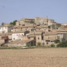
La Prenyanosa
3.1 km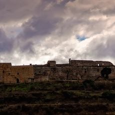
Castell de Montfalcó
1.8 km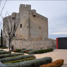
Castell de Malgrat
2.1 km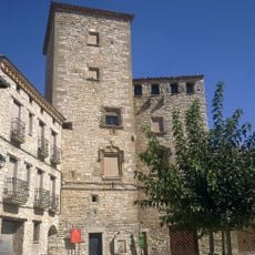
Castell de l'Oluja Baixa
166 m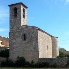
Sant Pere de Santa Fe de Segarra
3.5 km
Lledoner de Castellnou d'Oluges
2.1 km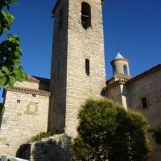
Santa Maria de les Oluges
188 m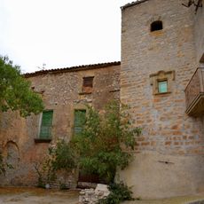
Castell de la Prenyanosa
3.1 km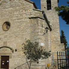
Sant Pere de Castellnou d'Oluges
2.1 km
Castell de Castellnou
2.1 km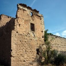
Molí de Santa Fe
3 km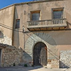
Castell de l'Oluja Alta
33 m
Abeuradors de les Oluges
172 m
El Molí del Castell
1 km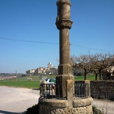
Columna de Sant Roc
2 km
Santa Maria de Malgrat
2.1 km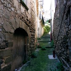
Carrer Graus
2 km
Església de Sant Miquel de la Prenyanosa
3.1 km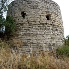
Torre de les Oluges
483 m
Santa Engràcia de les Oluges
197 m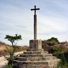
Creu de la Santa Missió de les Oluges
166 m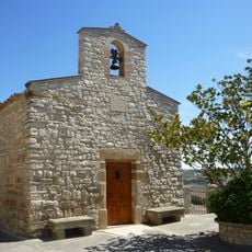
Sant Salvador de les Oluges
37 m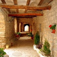
Carrer Rodó de Montfalcó Murallat
1.8 km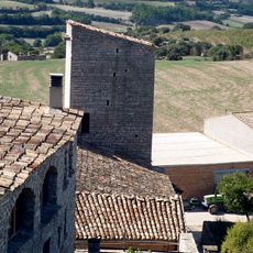
Torre de Santa Fe
3.4 km
Mas Sant Roc
1.9 kmReviews
Visited this place? Tap the stars to rate it and share your experience / photos with the community! Try now! You can cancel it anytime.
Discover hidden gems everywhere you go!
From secret cafés to breathtaking viewpoints, skip the crowded tourist spots and find places that match your style. Our app makes it easy with voice search, smart filtering, route optimization, and insider tips from travelers worldwide. Download now for the complete mobile experience.

A unique approach to discovering new places❞
— Le Figaro
All the places worth exploring❞
— France Info
A tailor-made excursion in just a few clicks❞
— 20 Minutes