
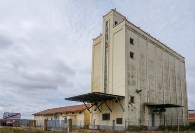
Silo of Becilla de Valderaduey, edificio en Becilla de Valderaduey, España
Location: Becilla de Valderaduey
Inception: 1967
Part of: Red Nacional de Silos y Graneros
GPS coordinates: 42.09600,-5.22033
Latest update: April 29, 2025 18:38
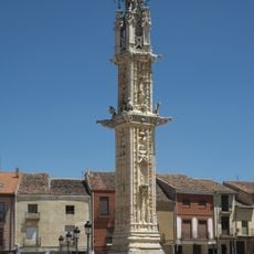
Villalón de Campos Pillory
15.3 km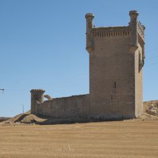
Castle of Belmonte de Campos
25.8 km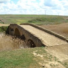
Roman bridge of Becilla de Valderaduey
516 m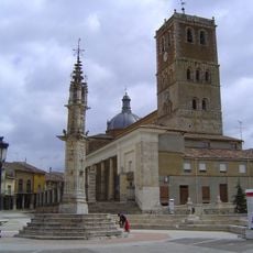
Iglesia de San Miguel, Villalón de Campos
15.4 km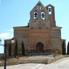
Church of San Andrés
12.8 km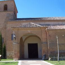
Church of Saints Justus and Pastor, Cuenca de Campos
14.3 km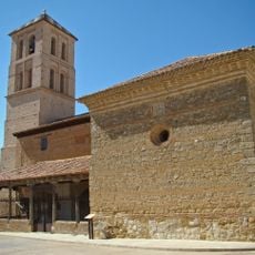
Church of Santa María de Arbas, Mayorga
8.7 km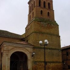
Church of Santa María del Azogue, Valderas
18.6 km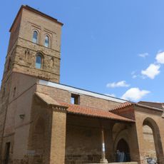
Church of San Nicolás
16.1 km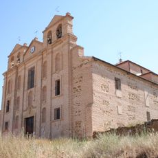
Convento de la Merced
9.9 km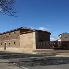
Museo de la Industria Harinera de Castilla y León
15.4 km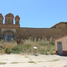
Castillo de Villagómez la Nueva
9.2 km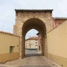
Muralla de Mayorga
8.5 km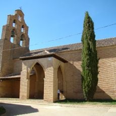
Church of Santa María del Castillo, Cuenca de Campos
14.1 km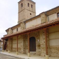
Iglesia de San Juan
18.7 km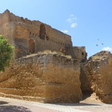
Castillo de Barcial de la Loma
17.1 km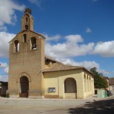
San Juan, Villalón de Campos
15.7 km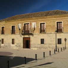
Palacio de los Cuadrilleros
19.7 km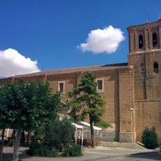
Church of El Salvador
22.3 km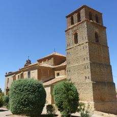
Iglesia de Santa María
4.6 km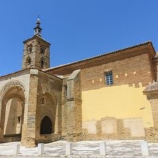
Iglesia de Santa María del Río
16.2 km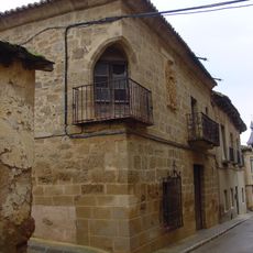
Conjunto histórico artístico de Valderas
18.5 km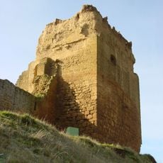
Castle of Altafría
18.8 km
Herrín de Campos town hall
22.2 km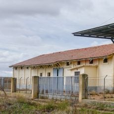
Granary of Becilla de Valderaduey
32 m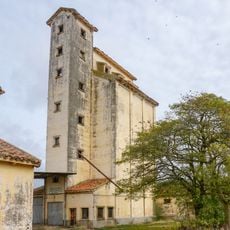
Silo of Villanueva del Campo
20 km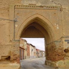
Muralla de Valderas
18.9 km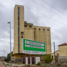
Silo of Villalón de Campos
16 kmReviews
Visited this place? Tap the stars to rate it and share your experience / photos with the community! Try now! You can cancel it anytime.
Discover hidden gems everywhere you go!
From secret cafés to breathtaking viewpoints, skip the crowded tourist spots and find places that match your style. Our app makes it easy with voice search, smart filtering, route optimization, and insider tips from travelers worldwide. Download now for the complete mobile experience.

A unique approach to discovering new places❞
— Le Figaro
All the places worth exploring❞
— France Info
A tailor-made excursion in just a few clicks❞
— 20 Minutes