
Restos De Tejeria, ruinas de Santa María de Dulcis, España
Location: Santa María de Dulcis
GPS coordinates: 42.11317,0.01849
Latest update: April 1, 2025 06:15
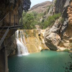
Pasarelas del Vero
6.5 km
Colegiatte of Alquézar
6.6 km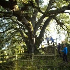
Carrasca milenaria de Lecina
13.1 km
Monastery of El Pueyo
9.2 km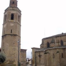
Barbastro Cathedral
12.1 km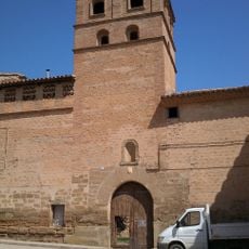
Monasterio de Nuestra Señora de la Gloria
13.9 km
Peña Falconera
14 km
Barfaluy I
11.6 km
Mallata B1
11.3 km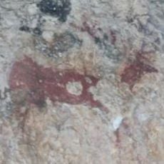
Arpán L
9.6 km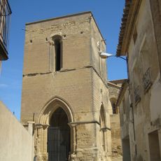
Iglesia de Santa María la Mayor
17 km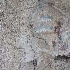
Lecina superior
11.6 km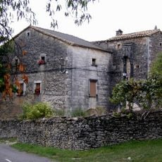
Casa Carruesco
13.1 km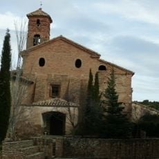
Saint Peter Church
14.1 km
Conjuratory of Almazorre
17.1 km
Hermitage of Nuestra Señora de Treviño
3.2 km
Muriecho L
11.5 km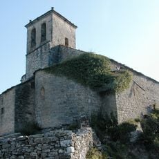
Church of Saint Stephen, Almazorre
17.1 km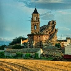
Iglesia de Santa Lucía
6.4 km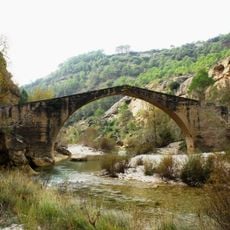
Puente de la Famiñosa
10.2 km
Chimiachas L
10.4 km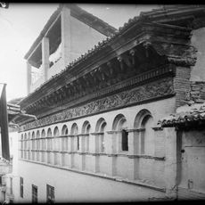
Palacio de los Argensola
12.2 km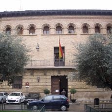
Town Hall of Barbastro
12.1 km
Chimiachas E
10.5 km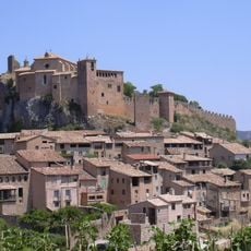
Historical Artistic Set Villa de Alquézar
6.8 km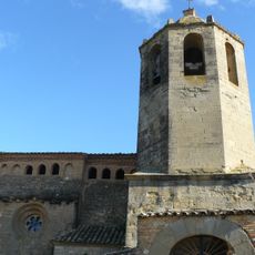
Iglesia de Santiago Apóstol
10 km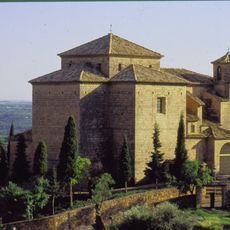
Church of San Miguel, Alquézar
6.5 km
Barfaluy II
11.6 kmReviews
Visited this place? Tap the stars to rate it and share your experience / photos with the community! Try now! You can cancel it anytime.
Discover hidden gems everywhere you go!
From secret cafés to breathtaking viewpoints, skip the crowded tourist spots and find places that match your style. Our app makes it easy with voice search, smart filtering, route optimization, and insider tips from travelers worldwide. Download now for the complete mobile experience.

A unique approach to discovering new places❞
— Le Figaro
All the places worth exploring❞
— France Info
A tailor-made excursion in just a few clicks❞
— 20 Minutes