Nummela Standard Baseline, Scientific measurement baseline in Nummela, Finland
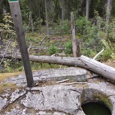
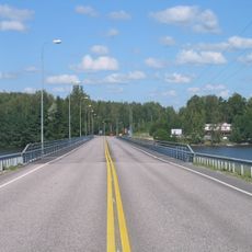
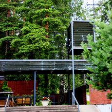
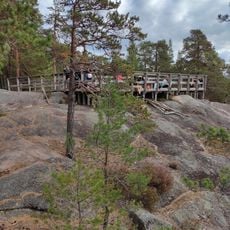
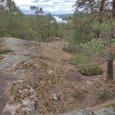
Nummela Standard Baseline is a scientific measurement line extending 864 meters across a ridge of layered gravel and sand. Observation pillars positioned at intervals along the route provide fixed reference points for calibration work.
The baseline was established in 1933 to calibrate invar wires used for mapping purposes. Since 1947, the Finnish Geodetic Institute has conducted regular measurements here to maintain international surveying standards.
This site holds importance for Finnish scientific measurement and serves researchers from around the world as a reference point for their work. Visitors can observe how precision in measurement underpins modern mapping and surveying practices.
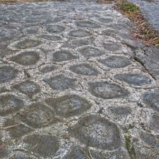
The site is accessible to scientists needing to calibrate electronic distance measurement instruments, with all measurements performed under strict temperature and environmental controls. Visitors should expect uneven ground conditions and should appreciate the precision work carried out here.
The midpoint of this baseline sits 14.6 millimeters lower than the endpoints to account for Earth's curvature. This subtle but crucial adjustment allows measurements accurate to within 0.1 millimeters.
The community of curious travelers
AroundUs brings together thousands of curated places, local tips, and hidden gems, enriched daily by 60,000 contributors worldwide.