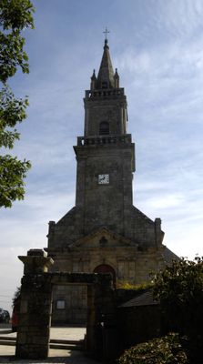
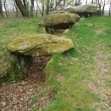
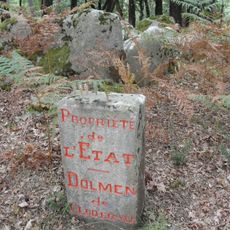
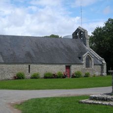
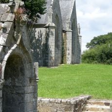
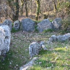
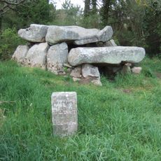
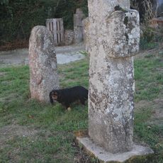
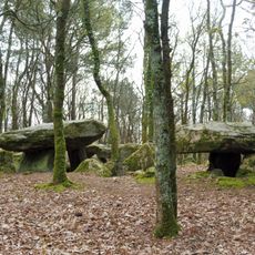
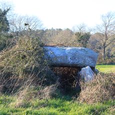
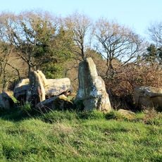
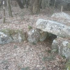
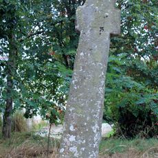
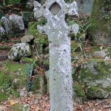
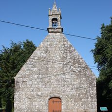
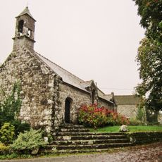
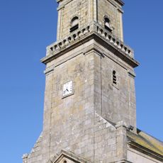
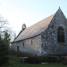
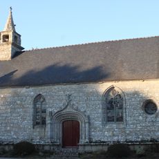
Ploemel, commune in Morbihan, France
Location: canton of Belz
Location: Morbihan
Location: Auray Quiberon Terre Atlantique
Location: arrondissement of Lorient
Elevation above the sea: 26 m
Shares border with: Locoal-Mendon, Brech, Crac'h, Carnac, Erdeven, Auray
Phone: +33297568425
Email: mairie@ploemel.fr
Website: https://ploemel.com
GPS coordinates: 47.65056,-3.07222
Latest update: May 24, 2025 21:53
Le P'tit Délire
2.2 km
Dolmen de Mané-er-Loh
5.6 km
Tumulus de Crucuny
3.5 km
Chapelle de Locmaria Ploemel
1.9 km
Chapelle Saint-Méen de Ploemel
3.2 km
Dolmen de Mané-Bogad
829 m
Dolmen de Roch-Feutet
3.7 km
Croix du Moustoir
4.3 km
Allée couverte de Mané-Bras
5.5 km
Dolmen de Kéric-la-Lande
2 km
Dolmen de Kluder-Yer
3.6 km
Dolmen d'Er-Roch-Vras
2.1 km
Mané-Brisil dolmen
3.7 km
Tumulus de Toul Prieu
3.7 km
AlréKids
4.6 km
Dolmen à cabinets latéraux de Locqueltas
3.9 km
Menhir de Kergo
2.4 km
Pop Corn Labyrinthe
2.6 km
Chapelle Notre-Dame-de-Recouvrance
108 m
Golf Bluegreen Saint-Laurent
2.8 km
Croix de Locmiquel
1.5 km
Croix de Kermarquer
793 m
Croix de Mane-Bley
558 m
Chapelle Saint-Vincent-Ferrier
4.4 km
Chapelle Saint-Aubin ou Saint-Albin de Carnac
2.7 km
Église Saint-André de Ploemel
120 m
Chapelle Saint-Cado de Ploemel
2.2 km
Chapelle Saint-Laurent de Ploemel
3 kmReviews
Visited this place? Tap the stars to rate it and share your experience / photos with the community! Try now! You can cancel it anytime.
Discover hidden gems everywhere you go!
From secret cafés to breathtaking viewpoints, skip the crowded tourist spots and find places that match your style. Our app makes it easy with voice search, smart filtering, route optimization, and insider tips from travelers worldwide. Download now for the complete mobile experience.
A unique approach to discovering new places❞
— Le Figaro
All the places worth exploring❞
— France Info
A tailor-made excursion in just a few clicks❞
— 20 Minutes