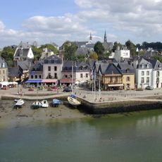
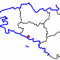
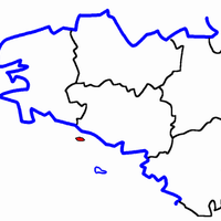
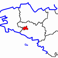
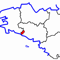
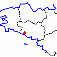
Arrondissement of Lorient, arrondissement of France
The community of curious travelers
AroundUs brings together thousands of curated places, local tips, and hidden gems, enriched daily by 60,000 contributors worldwide.
Location
Capital city
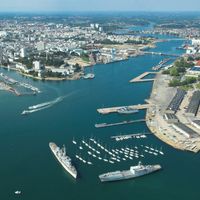
Lorient
Shares border with
arrondissement of Quimper, arrondissement of Pontivy, arrondissement of Vannes
GPS coordinates
47.83333,-3.25000
Latest update
May 24, 2025 22:53