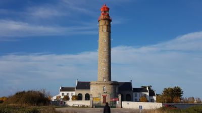
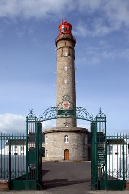
Goulphar lighthouse, Maritime lighthouse in Bangor, France
Goulphar lighthouse is a stone tower rising approximately 52 meters above Belle-Île-en-Mer with a cylindrical shape topped by a lantern and viewing balcony. The structure guides maritime traffic through these waters using its rotating light signal.
The lighthouse began operating in 1835 using advanced light technology developed by Augustin Fresnel to improve navigation safety. It was officially recognized as a Monument Historique in 1995 for its architectural and technical importance.
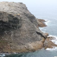
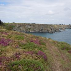
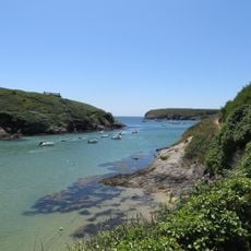
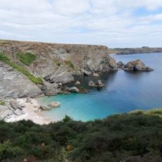
The lighthouse is rooted in Breton maritime heritage and has shaped the island's connection to the sea for generations. Visitors experience how this structure reflects the deep relationship between islanders and ocean navigation.
Access to the tower is available during daylight hours and visitors can climb the internal staircase to reach the viewing platform with views across the island and sea. Weather conditions affect visibility and safety on the platform, so sturdy footwear and weather-appropriate clothing are advisable.
The light beam can be seen from approximately 27 nautical miles away at sea under clear conditions, making the tower visible from distant maritime positions. This capability demonstrates how advanced light technology was in the 19th century for guiding ships.
The community of curious travelers
AroundUs brings together thousands of curated places, local tips, and hidden gems, enriched daily by 60,000 contributors worldwide.